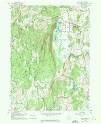
1960 Map of Pine Plains
USGS Topo · Published 1971About this map
Stissing Mountain dominates the central landscape of this Dutchess County region, rising sharply between the valleys of Shekomeko Creek and Wappinger Creek. The 1960 revision shows a sophisticated network of small settlements and agricultural infrastructure, from the village of Pine Plains and its Church of the Regeneration to the outlying hamlets of Lafayetteville and Bangall. The map captures a transition in land use, where family-named landmarks like Hicks Hill and Conklin Hill stand near expanding recreation sites like Halcyon Lake and Hunns Lake. To the north, the industrial history of the area is represented by Pachin Mills and the Gravel Pit near Stissing, while the Lookout Tower atop the main ridge suggests the forest management practices of the mid-20th century. The intricate placement of Evergreen Cem and other small burial grounds provides essential coordinates for those tracing local family lineages in the townships of Milan and Stanford.
Find a feature on this map
49 named features on this map. Tap any name to fly to it.
Don’t see what you’re looking for? This feature index may not catch every label — zoom into the map to look around manually.
Map Details
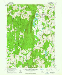
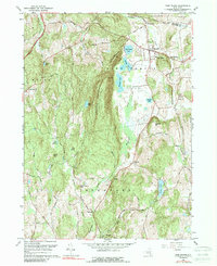
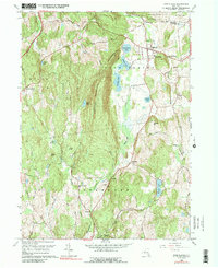
Editions of this 1960 Pine Plains Map
4 editions found
Other maps of this area

1895 · Catskill
USGS Topo · 1:62,500

1898 · Rhinebeck
USGS Topo · 1:62,500

1899 · Millbrook
USGS Topo · 1:62,500

1902 · Millbrook
USGS Topo · 1:62,500

1902 · Copake
USGS Topo · 1:62,500

1904 · Copake
USGS Topo · 1:62,500

1934 · Rhinebeck
USGS Topo · 1:48,000

1934 · Catskill
USGS Topo · 1:62,500

1938 · Catskill
USGS Topo · 1:62,500

1939 · Rhinebeck
USGS Topo · 1:62,500