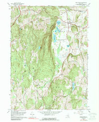
1960 Map of Pine Plains
USGS Topo · Published 1989About this map
Stissing Mountain dominates the center of this landscape, rising above the lowlands where the boundaries of Milan, Pine Plains, and Stanford meet. The settlement of Pine Plains serves as a primary hub in the northeast, featuring the Church of the Regeneration and the Evergreen Cem, while smaller hamlets like Lafayetteville, Attlebury, and Bangall are connected by a network of local roads including Creamery Road and Bullshead Road. The terrain is characterized by a series of distinct water bodies such as Thompson Pond, Stissing Pond, and Hunns Lake, which reflect the glacial history of the Hudson Valley. A Lookout Tower atop the mountain and a Gravel Pit near Old Attlebury point to the area's mix of conservation and local industry during the mid-20th century.
Find a feature on this map
63 named features on this map. Tap any name to fly to it.
Don’t see what you’re looking for? This feature index may not catch every label — zoom into the map to look around manually.
Map Details
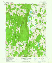
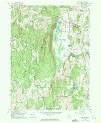
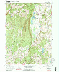
Editions of this 1960 Pine Plains Map
4 editions found
Other maps of this area

1895 · Catskill
USGS Topo · 1:62,500

1898 · Rhinebeck
USGS Topo · 1:62,500

1899 · Millbrook
USGS Topo · 1:62,500

1902 · Millbrook
USGS Topo · 1:62,500

1902 · Copake
USGS Topo · 1:62,500

1904 · Copake
USGS Topo · 1:62,500

1934 · Rhinebeck
USGS Topo · 1:48,000

1934 · Catskill
USGS Topo · 1:62,500

1938 · Catskill
USGS Topo · 1:62,500

1939 · Rhinebeck
USGS Topo · 1:62,500