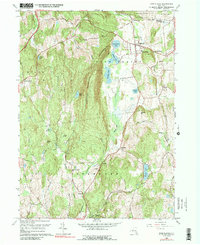
1960 Map of Pine Plains
USGS Topo · Published 1989About this map
Stissing Mountain dominates the center of this Dutchess County landscape, acting as a natural divide between the rolling hills of Milan and the valley of Pine Plains. The eastern corridor is defined by a chain of water bodies, including Thompson Pond, Stissing Pond, and Twin Island Lake, which feed the southern flow of Wappinger Creek. The settlement pattern reflects a mid-century agricultural economy with localized clusters like Hammertown and Pachin Mills, while the village of Pine Plains serves as the primary hub, anchored by the Church of the Regeneration and Evergreen Cem.
Find a feature on this map
52 named features on this map. Tap any name to fly to it.
Don’t see what you’re looking for? This feature index may not catch every label — zoom into the map to look around manually.
Map Details
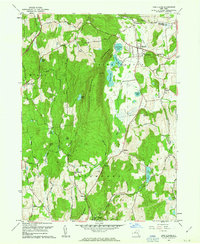
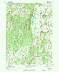
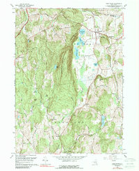
Editions of this 1960 Pine Plains Map
4 editions found
Other maps of this area

1895 · Catskill
USGS Topo · 1:62,500

1898 · Rhinebeck
USGS Topo · 1:62,500

1899 · Millbrook
USGS Topo · 1:62,500

1902 · Millbrook
USGS Topo · 1:62,500

1902 · Copake
USGS Topo · 1:62,500

1904 · Copake
USGS Topo · 1:62,500

1934 · Rhinebeck
USGS Topo · 1:48,000

1934 · Catskill
USGS Topo · 1:62,500

1938 · Catskill
USGS Topo · 1:62,500

1939 · Rhinebeck
USGS Topo · 1:62,500