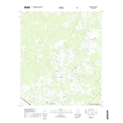
2019 Map of Pine Prairie
USGS Topo · Published 2019About this map
The Sam Houston National Forest defines the southeastern landscape of this area, where wooded terrain meets the northern outskirts of Huntsville. Centered on the settlement of Pine Prairie, the map reveals a network of country roads and family-named landmarks that trace the region's rural development. Water is a defining element here, with numerous small impoundments such as Easam Mill Seat Lake, Gibbs Brothers Lake, and Sudan Lake scattered among the tributaries of Nelson Creek.
Find a feature on this map
82 named features on this map. Tap any name to fly to it.
Don’t see what you’re looking for? This feature index may not catch every label — zoom into the map to look around manually.
Map Details
Editions of this 2019 Pine Prairie Map
This is the sole edition of this map. No revisions or reprints were ever made.
Other maps of this area

1954 · Beaumont
USGS Topo · 1:250,000

1957 · Beaumont
USGS Topo · 1:250,000

1960 · Trinity West
USGS Topo · 1:24,000

1960 · Phelps
USGS Topo · 1:24,000

1961 · Riverside
USGS Topo · 1:24,000

1962 · Pine Prairie
USGS Topo · 1:24,000

1962 · Wyser Bottom
USGS Topo · 1:24,000

1962 · Galilee
USGS Topo · 1:24,000

1962 · Baker Lake
USGS Topo · 1:24,000

1963 · Crabbs Prairie
USGS Topo · 1:24,000