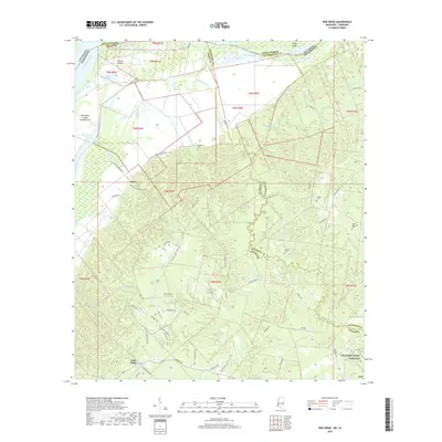
2018 Map of Pine Ridge
USGS Topo · Published 2018About this map
Mississippi River bottomlands and the rugged bluffs of Adams County define this 2018 survey of the Mississippi-Louisiana border. The landscape is split between the low-lying alluvial plains of Annas Bottom and the intricate drainage networks of Coles Creek and Fairchilds Cr. Historically significant sites like the Natchez Trace Parkway cut across the southern reach near the settlement of Pine Ridge, while the small community of Anna sits perched above the river's edge.
Find a feature on this map
69 named features on this map. Tap any name to fly to it.
Don’t see what you’re looking for? This feature index may not catch every label — zoom into the map to look around manually.
Map Details
Editions of this 2018 Pine Ridge Map
This is the sole edition of this map. No revisions or reprints were ever made.
Other maps of this area

1909 · Vidalia
USGS Topo · 1:24,000

1921 · Natchez
USGS Topo · 1:48,000

1922 · Natchez
USGS Topo · 1:62,500

1939 · Lorman
USGS Topo · 1:62,500

1939 · Natchez
USGS Topo · 1:62,500

1939 · Locust Ridge
USGS Topo · 1:62,500

1953 · Natchez
USGS Topo · 1:250,000

1956 · Natchez
USGS Topo · 1:250,000

1958 · St. Joseph
USGS Topo · 1:62,500

1959 · Natchez
USGS Topo · 1:250,000