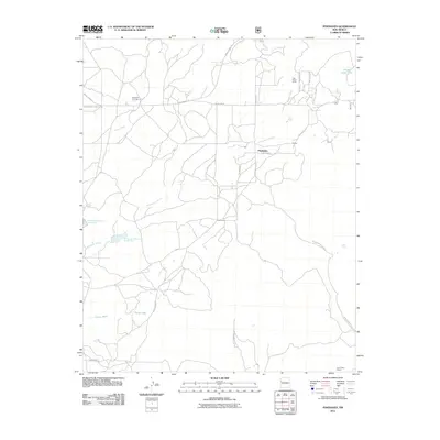
2011 Map of Pinehaven
USGS Topo · Published 2011About this map
Pinehaven and the residential area of Pinehaven Acres represent the primary points of settlement in this part of the Eastern Navajo Agency. The landscape is defined by its complex drainage network, where Whitewater Arroyo and Pine Tree Wash cut through the terrain, complemented by water management features like Vanderwagen Reservoir Number One and Vanderwagen Reservoir Number Two. These resources are essential for the local ranching and agricultural life seen in the various stock tanks and washes.
Find a feature on this map
27 named features on this map. Tap any name to fly to it.
Don’t see what you’re looking for? This feature index may not catch every label — zoom into the map to look around manually.
Map Details
Editions of this 2011 Pinehaven Map
This is the sole edition of this map. No revisions or reprints were ever made.
Other maps of this area

1886 · Wingate
USGS Topo · 1:250,000

1892 · Wingate
USGS Topo · 1:250,000

1954 · Gallup
USGS Topo · 1:250,000

1958 · Gallup
USGS Topo · 1:250,000

1959 · Gallup
USGS Topo · 1:250,000

1962 · Gallup
USGS Topo · 1:250,000

1963 · Twin Buttes
USGS Topo · 1:24,000

1963 · Pinehaven
USGS Topo · 1:24,000
1963 · Upper Nutria
USGS Topo · 1:24,000
1963 · Bread Springs
USGS Topo · 1:24,000