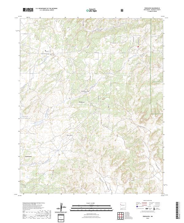
2023 Map of Pinehaven
USGS Topo · Published 2023About this map
Pinehaven and the nearby Vanderwagen settlement define this McKinley County landscape, where the high desert is carved by a complex network of ephemeral drainages. The Cibola National Forest encompasses the eastern portion of the sheet, providing a protected backdrop to local landmarks like the Pinehaven Cem. The drainage patterns here are particularly dense, with major features such as Whitewater Arroyo, Skeets Wash, and Nelson Wash illustrating how water has shaped the terrain over time.
Find a feature on this map
31 named features on this map. Tap any name to fly to it.
Don’t see what you’re looking for? This feature index may not catch every label — zoom into the map to look around manually.
Map Details
Editions of this 2023 Pinehaven Map
This is the sole edition of this map. No revisions or reprints were ever made.
Other maps of this area

1886 · Wingate
USGS Topo · 1:250,000

1892 · Wingate
USGS Topo · 1:250,000

1954 · Gallup
USGS Topo · 1:250,000

1958 · Gallup
USGS Topo · 1:250,000

1959 · Gallup
USGS Topo · 1:250,000

1962 · Gallup
USGS Topo · 1:250,000

1963 · Twin Buttes
USGS Topo · 1:24,000

1963 · Pinehaven
USGS Topo · 1:24,000
1963 · Upper Nutria
USGS Topo · 1:24,000
1963 · Bread Springs
USGS Topo · 1:24,000