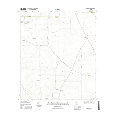
2014 Map of Pineview East
USGS Topo · Published 2014About this map
Pineview anchors the northwest corner of this South Georgia landscape, where the town grid of E Commerce St and Cemetery St meets the rural expanse of Wilcox County. The map documents a territory defined by a network of local roads and creek drainages, crossing the boundary between Pulaski and Wilcox counties. Genealogists will find a high density of burial sites scattered throughout the agricultural tracts, including Pineview Cemetery and the more remote Dennard Cemetery. The terrain is shaped by numerous watercourses, with Bluff Creek and Brushy Creek cutting through the lowlands. This survey illustrates the persistent importance of early thoroughfares like Stone Road and Cannonville Road in connecting isolated farmsteads and rural churches such as Christian Hill.
Find a feature on this map
64 named features on this map. Tap any name to fly to it.
Don’t see what you’re looking for? This feature index may not catch every label — zoom into the map to look around manually.
Map Details
Editions of this 2014 Pineview East Map
This is the sole edition of this map. No revisions or reprints were ever made.
Other maps of this area

1953 · Waycross
USGS Topo · 1:250,000

1957 · Macon
USGS Topo · 1:250,000

1958 · Macon
USGS Topo · 1:250,000

1958 · Waycross
USGS Topo · 1:250,000

1964 · Macon
USGS Topo · 1:250,000

1971 · Pineview West
USGS Topo · 1:24,000

1972 · Finleyson East
USGS Topo · 1:24,000

1972 · West Of Eastman
USGS Topo · 1:24,000

1972 · Finleyson West
USGS Topo · 1:24,000

1972 · Abbeville North
USGS Topo · 1:24,000