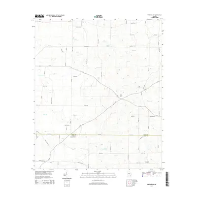
2014 Map of Pineview SW
USGS Topo · Published 2014About this map
The borderlands of Dooly and Crisp counties are defined by a network of agricultural roads and shifting watercourses in this South Georgia survey. The small settlement of Lamb Town sits directly on the county line, while the southern reaches of the map include Tremont and the waters of Brannon Lake. The landscape is notably marked by the Double Lime Sinks, a geological feature indicative of the karst topography common to this region of the state.
Find a feature on this map
72 named features on this map. Tap any name to fly to it.
Don’t see what you’re looking for? This feature index may not catch every label — zoom into the map to look around manually.
Map Details
Editions of this 2014 Pineview SW Map
This is the sole edition of this map. No revisions or reprints were ever made.
Other maps of this area

1953 · Waycross
USGS Topo · 1:250,000

1957 · Macon
USGS Topo · 1:250,000

1958 · Macon
USGS Topo · 1:250,000

1958 · Waycross
USGS Topo · 1:250,000

1964 · Macon
USGS Topo · 1:250,000

1971 · Pineview West
USGS Topo · 1:24,000

1971 · Pineview NW
USGS Topo · 1:24,000

1971 · Pineview SW
USGS Topo · 1:24,000

1971 · Pinehurst
USGS Topo · 1:24,000

1972 · Finleyson West
USGS Topo · 1:24,000