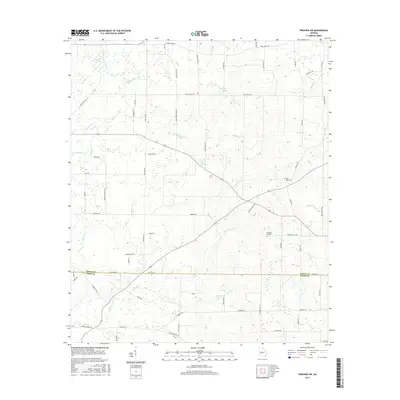
2017 Map of Pineview SW
USGS Topo · Published 2017About this map
The agricultural landscape of south-central Georgia is defined by its intricate drainage networks and rural landmarks along the Dooly Co and Crisp Co line. A variety of water features crisscross the region, including Pennahatchee Cr, Sandy Mount Cr, and the headwaters of the Alapaha River. The terrain is punctuated by distinctive geological and man-made features such as the Double Lime Sinks and scattered bodies of water like Sangster Lake and Brannon Lake. Local family and place names are preserved through the extensive road network, with routes like Lambtown Rd, Noble Gin Rd, and Tom Howard Farm Rd providing a detailed map of rural development. Historical sites are anchored by Rock Hill Cem and Pleasant Hill Cem, which serve as vital points of interest for genealogists tracing families in this part of the state.
Find a feature on this map
66 named features on this map. Tap any name to fly to it.
Don’t see what you’re looking for? This feature index may not catch every label — zoom into the map to look around manually.
Map Details
Editions of this 2017 Pineview SW Map
This is the sole edition of this map. No revisions or reprints were ever made.
Other maps of this area

1953 · Waycross
USGS Topo · 1:250,000

1957 · Macon
USGS Topo · 1:250,000

1958 · Macon
USGS Topo · 1:250,000

1958 · Waycross
USGS Topo · 1:250,000

1964 · Macon
USGS Topo · 1:250,000

1971 · Pineview West
USGS Topo · 1:24,000

1971 · Pineview NW
USGS Topo · 1:24,000

1971 · Pineview SW
USGS Topo · 1:24,000

1971 · Pinehurst
USGS Topo · 1:24,000

1972 · Finleyson West
USGS Topo · 1:24,000