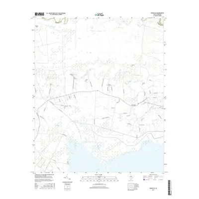
2017 Map of Pineville
USGS Topo · Published 2017About this map
Pineville serves as the central hub of this lowcountry landscape, situated in a region defined by its deep plantation roots and complex water systems. The map highlights significant historical sites, most notably the Site of Francis Marion Tomb near Belle Isle Plantation Cem. The proximity of these features to the Santee River and the older Santee Canal illustrates the colonial-era importance of river transport and agricultural estates in Berkeley County.
Find a feature on this map
68 named features on this map. Tap any name to fly to it.
Don’t see what you’re looking for? This feature index may not catch every label — zoom into the map to look around manually.
Map Details
Editions of this 2017 Pineville Map
This is the sole edition of this map. No revisions or reprints were ever made.
Other maps of this area

1920 · Chicora
USGS Topo · 1:48,000

1920 · Manning
USGS Topo · 1:48,000

1921 · Chicora
USGS Topo · 1:62,500

1921 · Manning
USGS Topo · 1:62,500

1943 · Chicora
USGS Topo · 1:62,500

1943 · Bonneau
USGS Topo · 1:62,500

1944 · Manning
USGS Topo · 1:62,500

1946 · Kingstree
USGS Topo · 1:62,500

1949 · Georgetown
USGS Topo · 1:250,000

1954 · Augusta
USGS Topo · 1:250,000