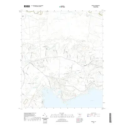
2020 Map of Pineville
USGS Topo · Published 2020About this map
The Site of Francis Marion Tomb serves as a significant historical focal point within this Berkeley County landscape, anchoring a region dense with plantation-era heritage. Numerous family and plantation burial grounds are scattered throughout the area, including the Mahan Plantation Cem, Belle Isle Plantation Cem, and Richmond Cem. This network of sites, along with others like Bluford Cem and Lifeland Cem, provides a detailed geographic record of the families who shaped this part of South Carolina.
Find a feature on this map
70 named features on this map. Tap any name to fly to it.
Don’t see what you’re looking for? This feature index may not catch every label — zoom into the map to look around manually.
Map Details
Editions of this 2020 Pineville Map
This is the sole edition of this map. No revisions or reprints were ever made.
Other maps of this area

1920 · Chicora
USGS Topo · 1:48,000

1920 · Manning
USGS Topo · 1:48,000

1921 · Chicora
USGS Topo · 1:62,500

1921 · Manning
USGS Topo · 1:62,500

1943 · Chicora
USGS Topo · 1:62,500

1943 · Bonneau
USGS Topo · 1:62,500

1944 · Manning
USGS Topo · 1:62,500

1946 · Kingstree
USGS Topo · 1:62,500

1949 · Georgetown
USGS Topo · 1:250,000

1954 · Augusta
USGS Topo · 1:250,000