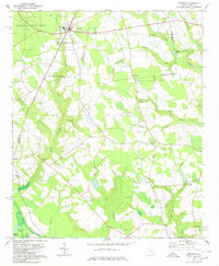
1980 Map of Pinewood
USGS Topo · Published 1980About this map
Pinewood and Rimini serve as central points in this South Carolina landscape, situated along the Seaboard Coast Line railroad near the western edge of Manchester State Forest. The map documents a rural transition zone where the pine-laden hills of Sumter County meet the expansive wetlands of the Santee River system. The southern portion is defined by the encroaching waters of Lake Marion and the winding course of Jacks Creek, while the interior is dotted with local heritage landmarks like St Peters Ch, Pisgah Ch, and Elliott Millpond. The geography is characterized by numerous swampy branches, including Sammy Swamp and Boggy Swamp, which illustrate the complex drainage patterns of the coastal plain. For researchers, the presence of various family-named sites such as Brown Cem and Curtis Millpond provides essential clues for tracing 20th-century agrarian life and settlement patterns.
Find a feature on this map
38 named features on this map. Tap any name to fly to it.
Don’t see what you’re looking for? This feature index may not catch every label — zoom into the map to look around manually.
Map Details
Editions of this 1980 Pinewood Map
2 editions found
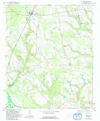
Other maps of this area

1943 · Eastover
USGS Topo · 1:62,500

1946 · Elloree
USGS Topo · 1:62,500

1946 · Sumter
USGS Topo · 1:62,500

1953 · Poinsett State Park
USGS Topo · 1:24,000

1954 · Augusta
USGS Topo · 1:250,000

1957 · Sumter
USGS Topo · 1:62,500

1957 · Augusta
USGS Topo · 1:250,000

1958 · Augusta
USGS Topo · 1:250,000

1961 · Augusta
USGS Topo · 1:250,000

1962 · Augusta
USGS Topo · 1:250,000