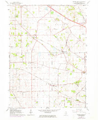
1962 Map of Pingree Grove
USGS Topo · Published 1973About this map
Agricultural crossroads and emerging transit corridors define this portion of Kane County in the early 1960s. The village of Pingree Grove serves as a central hub, where the Chicago Milwaukee St Paul and Pacific rail line and several prominent roads converge. Small, historic settlements like Henpeck, Allens Corners, and Starks dot the landscape, often situated at key intersections like those along Plank Road or near the Northwest Tollway.
Find a feature on this map
38 named features on this map. Tap any name to fly to it.
Don’t see what you’re looking for? This feature index may not catch every label — zoom into the map to look around manually.
Map Details
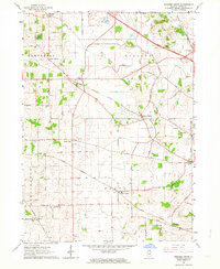
Editions of this 1962 Pingree Grove Map
2 editions found
Other maps of this area

1925 · Elgin
USGS Topo · 1:62,500

1932 · Geneva
USGS Topo · 1:62,500

1937 · Sycamore
USGS Topo · 1:62,500

1938 · Genoa
USGS Topo · 1:62,500

1940 · Elgin
USGS Topo · 1:62,500

1948 · Geneva
USGS Topo · 1:62,500

1949 · Geneva
USGS Topo · 1:24,000

1954 · Rockford
USGS Topo · 1:250,000

1955 · Rockford
USGS Topo · 1:250,000

1958 · Aurora
USGS Topo · 1:250,000