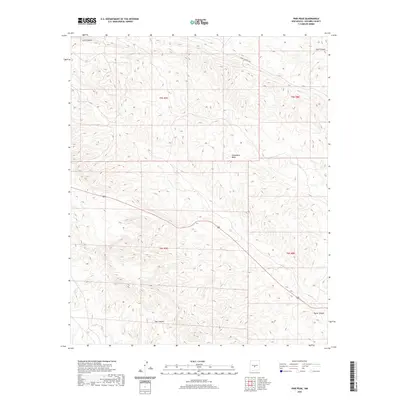
2020 Map of Pink Peak
USGS Topo · Published 2020About this map
Chupadera Mesa dominates the central topography of this Socorro County landscape, a prominent high plateau defined by its complex drainage systems and shifting elevations. The map reveals a remote environment where water management is critical for land use, evidenced by the presence of Monk Tank in the western reaches. Deep erosional features like Lutz Canyon and Lobo Canyon cut through the northern terrain, while Red Canyon and Taylor Canyon define the southern sections. This 2020 survey captures a territory managed for modern utility and defense, marked by the transit corridor of WSMR S Route 3506, which traverses the high ground. The underlying Public Land Survey System grid highlights the organized township and range divisions typical of the New Mexico interior.
Find a feature on this map
11 named features on this map. Tap any name to fly to it.
Don’t see what you’re looking for? This feature index may not catch every label — zoom into the map to look around manually.
Map Details
Editions of this 2020 Pink Peak Map
This is the sole edition of this map. No revisions or reprints were ever made.
Other maps of this area

1918 · Oscura Peak
USGS Topo · 1:125,000

1948 · Broken Back Crater
USGS Topo · 1:62,500

1948 · Bingham
USGS Topo · 1:62,500

1948 · Chihuahua Ranch
USGS Topo · 1:62,500

1948 · Mockingbird Gap
USGS Topo · 1:62,500

1954 · Tularosa
USGS Topo · 1:250,000

1958 · Tularosa
USGS Topo · 1:250,000
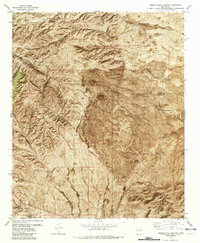
1981 · Broken Back Crater
USGS Topo · 1:24,000
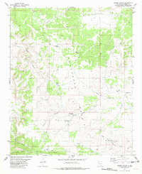
1981 · Cooper Canyon
USGS Topo · 1:24,000
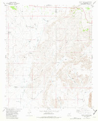
1982 · Wagon Canyon
USGS Topo · 1:24,000