1964 Map of Pinnacle
USGS Topo · Published 1965About this map
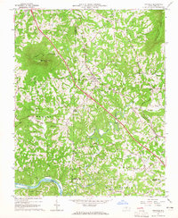
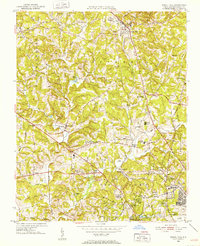
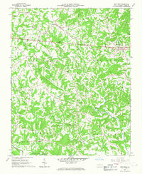
Pilot Mountain and its iconic Pilot Knob peak dominate the northwestern corner of this mid-1960s landscape, casting a shadow over the headwaters of Grassy Creek. The map documents a rural Piedmont community defined by the Southern railroad line, which bisects the terrain diagonally and serves the primary settlements of Pinnacle and Dalton. This rail corridor parallels a growing network of roads, including Highway 52, illustrating the mid-century transition from rail-dependent commerce to automotive mobility.
Find a feature on this map
51 named features on this map. Tap any name to fly to it.
Don’t see what you’re looking for? This feature index may not catch every label — zoom into the map to look around manually.
Map Details
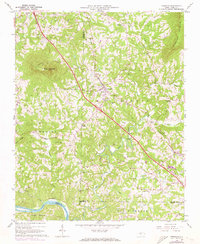
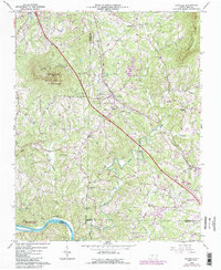
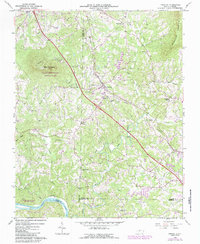
Editions of this 1964 Pinnacle Map
4 editions found
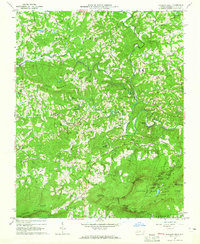
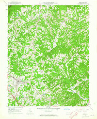
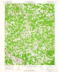
Other maps of this area

1891 · Yadkinville
USGS Topo · 1:125,000

1893 · Yadkinville
USGS Topo · 1:125,000
1951 · Rural Hall
USGS Topo · 1:24,000

1953 · Winston-Salem
USGS Topo · 1:250,000

1955 · Winston-Salem
USGS Topo · 1:250,000

1962 · Winston-Salem
USGS Topo · 1:250,000
1964 · Hanging Rock
USGS Topo · 1:24,000
1964 · King
USGS Topo · 1:24,000
1964 · Pilot Mountain
USGS Topo · 1:24,000
1966 · East Bend
USGS Topo · 1:24,000