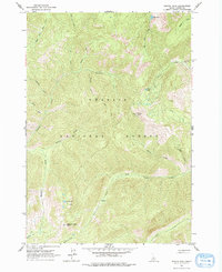
1963 Map of Pinyon Peak
USGS Topo · Published 1978About this map
Challis National Forest dominates this 1963 survey of the Idaho interior, a landscape defined by sharp drainage networks and high-altitude lookouts. High points like Pinyon Peak and Feltham Creek Point serve as key vantage points, with the former featuring a designated Lookout Pinyon Peak. The map records the intersection of resource extraction and rugged wilderness, specifically at the Lost Packer Mine and various Prospect sites located along Canyon Creek and Deer Creek.
Find a feature on this map
31 named features on this map. Tap any name to fly to it.
Don’t see what you’re looking for? This feature index may not catch every label — zoom into the map to look around manually.
Map Details
Editions of this 1963 Pinyon Peak Map
3 editions found
Other maps of this area

1891 · Bear Valley
USGS Topo · 1:125,000

1893 · Bear Valley
USGS Topo · 1:125,000

1919 · Custer
USGS Topo · 1:125,000

1922 · Custer
USGS Topo · 1:125,000

1930 · Casto
USGS Topo · 1:125,000

1957 · Challis
USGS Topo · 1:250,000

1960 · Challis
USGS Topo · 1:250,000

1961 · Greyhound Ridge
USGS Topo · 1:62,500

1963 · Challis
USGS Topo · 1:250,000

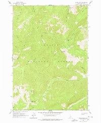
1963 · Pinyon Peak
USGS Topo · 1:24,000