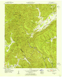
1952 Map of Pioneer
USGS Topo · Published 1954About this map
Pioneer and Stanfill sit within the high, ridged terrain of the Cumberland Mountain area during the early 1950s. The landscape is defined by the Southern Railway corridor winding through the Tennessee Valley, connecting remote coal-country settlements along the Elk Fork. This survey documents a rural society organized around narrow valleys and mountain gaps, such as Blockade Gap and Marcum Gap, where small schools and community churches served localized populations. Genealogy researchers will find several family-named landmarks and cemeteries, including the Meredith Cemetery and Valley View Cemetery. Education in these hollows was deeply decentralized, with numerous small facilities like the Rockhouse School and Lick Fork School positioned to serve isolated residents across the Scott and Campbell County line. The presence of a Lookout Tower on Braden Mountain highlights the region's managed timber and fire-watch network of the era.
Find a feature on this map
87 named features on this map. Tap any name to fly to it.
Don’t see what you’re looking for? This feature index may not catch every label — zoom into the map to look around manually.
Map Details
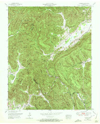
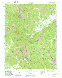
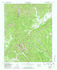
Editions of this 1952 Pioneer Map
4 editions found
Other maps of this area

1890 · Williamsburg
USGS Topo · 1:125,000

1893 · Briceville
USGS Topo · 1:125,000

1894 · Williamsburg
USGS Topo · 1:125,000

1895 · Briceville
USGS Topo · 1:125,000

1896 · Briceville
USGS Topo · 1:125,000

1936 · Ivydell
USGS Topo · 1:24,000

1936 · Block
USGS Topo · 1:24,000

1936 · Jacksboro
USGS Topo · 1:24,000

1936 · Pioneer
USGS Topo · 1:24,000

1936 · La Follette
USGS Topo · 1:48,000