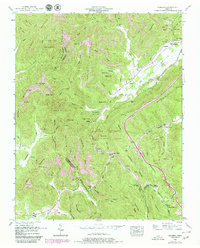
1952 Map of Pioneer
USGS Topo · Published 1980About this map
Pioneer and Elk Valley serve as the primary valley settlements in this section of the Cumberland Mountains, where the extractive economy of the mid-20th century is clearly visible through numerous Strip Mines and a Quarry. The landscape is dominated by heavy timber and sharp relief, with significant elevations like Chimney Mountain and Braden Mountain flanking the corridors used by the Southern railroad. Extensive territory is dedicated to the Koppers Wildlife Management Area, suggesting a transition toward conservation and managed land use as mining activities evolved.
Find a feature on this map
98 named features on this map. Tap any name to fly to it.
Don’t see what you’re looking for? This feature index may not catch every label — zoom into the map to look around manually.
Map Details
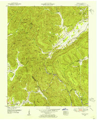
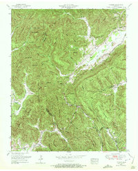
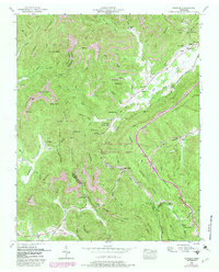
Editions of this 1952 Pioneer Map
4 editions found
Other maps of this area

1890 · Williamsburg
USGS Topo · 1:125,000

1893 · Briceville
USGS Topo · 1:125,000

1894 · Williamsburg
USGS Topo · 1:125,000

1895 · Briceville
USGS Topo · 1:125,000

1896 · Briceville
USGS Topo · 1:125,000

1936 · Ivydell
USGS Topo · 1:24,000

1936 · Block
USGS Topo · 1:24,000

1936 · Jacksboro
USGS Topo · 1:24,000

1936 · Pioneer
USGS Topo · 1:24,000

1936 · La Follette
USGS Topo · 1:48,000