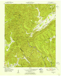
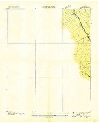
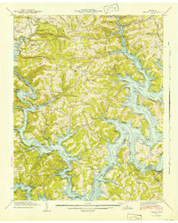
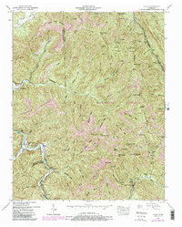
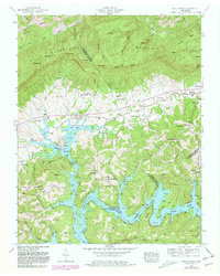
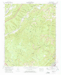
1952 Map of Pioneer
USGS Topo · Published 1954This historical map portrays the area of Pioneer in 1952, primarily covering Campbell County as well as portions of Scott County. Featuring a scale of 1:24000, this map provides a highly detailed snapshot of the terrain, roads, buildings, counties, and historical landmarks in the Pioneer region at the time. Published in 1954, it is one of 4 known editions of this map due to revisions or reprints.
Find a feature on this map
87 named features on this map. Tap any name to fly to it.
Don’t see what you’re looking for? This feature index may not catch every label — zoom into the map to look around manually.
Map Details
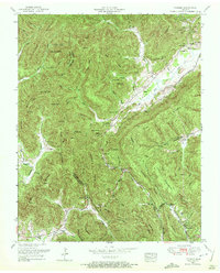
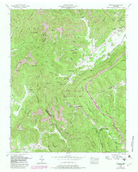
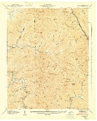
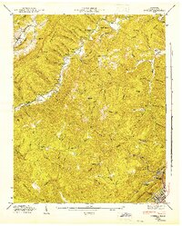
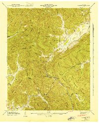
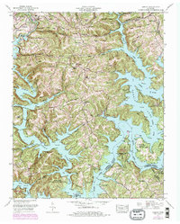
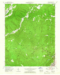
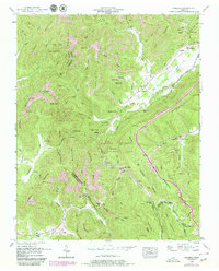
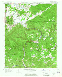
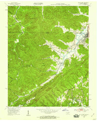
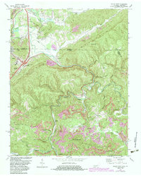
Editions of this 1952 Pioneer Map
4 editions found
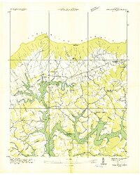
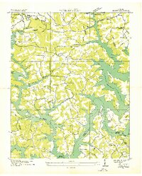
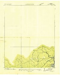
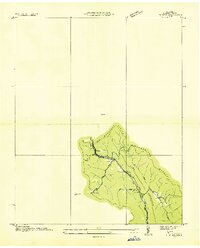
Historical Maps of Titus Through Time
20 maps found
1935 Well Spring
Campbell County, TN
1936 Block
Campbell County, TN
1936 Demory
Campbell County, TN
1936 Ivydell
Campbell County, TN
1936 Pioneer
Campbell County, TN
1941 Demory
Campbell County, TN

1942 Well Spring
Campbell County, TN
1946 Block
Campbell County, TN
1946 Ivydell
Campbell County, TN
1946 Pioneer
Campbell County, TN
1952 Block
Campbell County, TN
1952 Demory
Campbell County, TN
1952 Ivydell
Campbell County, TN
1952 Pioneer
Campbell County, TN
1952 Well Spring
Campbell County, TN
1953 Jellico East
Campbell County, TN
1953 Jellico West
Campbell County, TN
1970 Jellico East
Campbell County, TN
1973 Ivydell
Campbell County, TN
1979 Jellico West
Campbell County, TN