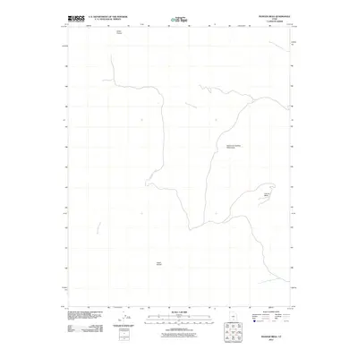
2011 Map of Pioneer Mesa
USGS Topo · Published 2011About this map
Wolverine Petrified Wood Area characterizes this corner of Garfield County, where geologic history is surface-exposed across a high desert landscape. The terrain is defined by the elevation of Pioneer Mesa and the deep incision of Death Hollow, illustrating the drainage patterns of the region. This 2011 survey documents the hydrological network formed by Wolverine Creek, which winds through the center of the quadrangle, and White Canyon to the north. These features represent a complex topographical environment where drainage systems like North Fork Silver Falls Creek have carved significant relief into the plateau. The lack of named settlements or major infrastructure highlights the area's character as a largely undeveloped natural tract, centered on unique geological preserves and water-carved landmarks.
Find a feature on this map
6 named features on this map. Tap any name to fly to it.
Don’t see what you’re looking for? This feature index may not catch every label — zoom into the map to look around manually.
Map Details
Editions of this 2011 Pioneer Mesa Map
This is the sole edition of this map. No revisions or reprints were ever made.
Other maps of this area

1886 · Escalante
USGS Topo · 1:250,000

1953 · Circle Cliffs 1 SE
USGS Topo · 1:24,000

1953 · Circle Cliffs 2 NE
USGS Topo · 1:24,000

1953 · Circle Cliffs 4 NW
USGS Topo · 1:24,000

1953 · Circle Cliffs 1 SW
USGS Topo · 1:24,000
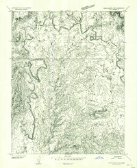
1953 · Circle Cliffs 1 NW
USGS Topo · 1:24,000
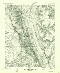
1953 · Circle Cliffs 1 NE
USGS Topo · 1:24,000

1953 · Circle Cliffs 4 NE
USGS Topo · 1:24,000

1953 · Moody Creek
USGS Topo · 1:62,500
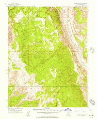
1953 · Wagon Box Mesa
USGS Topo · 1:62,500