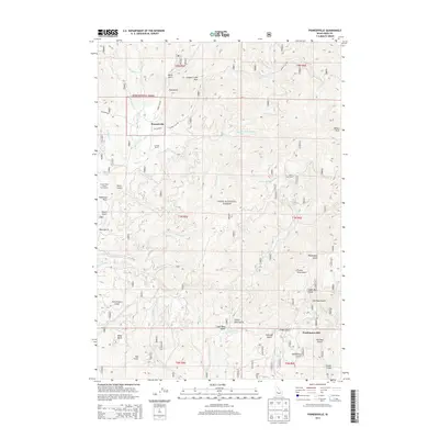
2013 Map of Pioneerville
USGS Topo · Published 2013About this map
Pioneerville sits within the drainage of Grimes Cr, a central hub in the gold-rich Boise Basin as documented in the early 21st century. The landscape is defined by its deep mining heritage, evidenced by the presence of the Washington Mill and numerous gulches named during the region's prospecting era. These include the curiously named Lager Beer Gulch, Gambrinus Gulch, and Forest King Gulch. The steep terrain is navigated by historic routes like Summit Flat Rd and Grimes Pass Rd, which cross over Grimes Creek Pass. While much of the land is managed as part of the Boise National Forest, the map also identifies private landholdings such as the Arbaugh Ranch and the solitary Miner Grave located near S Fork Smith Cr, providing specific points of interest for genealogists and local historians tracing the development of this Idaho mountain community.
Find a feature on this map
55 named features on this map. Tap any name to fly to it.
Don’t see what you’re looking for? This feature index may not catch every label — zoom into the map to look around manually.
Map Details
Editions of this 2013 Pioneerville Map
This is the sole edition of this map. No revisions or reprints were ever made.
Other maps of this area

1894 · Idaho Basin
USGS Topo · 1:125,000

1909 · Garden Valley
USGS Topo · 1:125,000

1955 · Hailey
USGS Topo · 1:250,000

1957 · Placerville
USGS Topo · 1:24,000

1957 · Pioneerville
USGS Topo · 1:24,000

1957 · Warm Springs Point
USGS Topo · 1:24,000

1957 · Idaho City
USGS Topo · 1:24,000

1957 · Challis
USGS Topo · 1:250,000

1959 · Hailey
USGS Topo · 1:250,000

1959 · Garden Valley
USGS Topo · 1:62,500