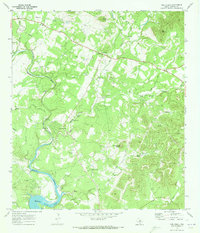
1970 Map of Pipe Creek
USGS Topo · Published 1973About this map
Pipe Creek and Bandera Falls serve as the primary focal points of this 1970 landscape, where the meandering Medina River flows toward the prominent Spillway of Medina Lake. The terrain is defined by dramatic limestone relief, featuring high points like Edwards Mountain, Cap Mountain, and Smoothing Iron Mountain. Local hydrology is particularly complex, marked by numerous seasonal drainages such as Privilege Creek, Bear Spring Creek, and Dry Hollow. Of interest to local historians are the established community landmarks, including the Pipe Creek Cem and another smaller Cem near the river, along with specialized features like the Gaging Sta and Wonder Hole on the Red Bluff Creek. The map documents a period of rural character prior to significant modern development, connected by a network of local thoroughfares such as English Crossing Road and rugged tracks like the Jeep Trail.
Find a feature on this map
32 named features on this map. Tap any name to fly to it.
Don’t see what you’re looking for? This feature index may not catch every label — zoom into the map to look around manually.
Map Details
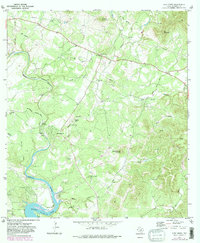
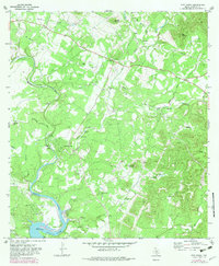
Editions of this 1970 Pipe Creek Map
3 editions found
Other maps of this area

1954 · San Antonio
USGS Topo · 1:250,000

1956 · Comfort
USGS Topo · 1:62,500

1956 · Bandera
USGS Topo · 1:62,500

1956 · Medina Lake
USGS Topo · 1:62,500

1956 · Center Point
USGS Topo · 1:62,500

1957 · San Antonio
USGS Topo · 1:250,000

1964 · Bandera
USGS Topo · 1:24,000

1964 · Timber Creek
USGS Topo · 1:24,000

1964 · Medina Lake
USGS Topo · 1:24,000
1964 · Ranger Creek
USGS Topo · 1:24,000