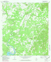
1970 Map of Pipe Creek
USGS Topo · Published 1982About this map
Pipe Creek and Bandera Falls serve as the primary focal points of this Texas Hill Country survey, which balances rugged uplands with the developing recreation around Medina Lake. The landscape is defined by its water sources, from the deep pools of Wonder Hole to the springs feeding Bear Spring Creek and Spires Creek. Movement through the area is dictated by terrain and river crossings, evidenced by the winding path of English Crossing Road and the prominent Spillway 1064 at the lake's edge. High points like Edwards Mountain and Smoothing Iron Mountain overlook a network of ranch roads, including the descriptively named Bump Gate Road. Local heritage is anchored at the Pipe Creek Cem, while several landing strips indicate the increasing accessibility of these rural ranching lands by the early 1970s.
Find a feature on this map
32 named features on this map. Tap any name to fly to it.
Don’t see what you’re looking for? This feature index may not catch every label — zoom into the map to look around manually.
Map Details
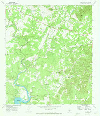
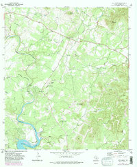
Editions of this 1970 Pipe Creek Map
3 editions found
Other maps of this area

1954 · San Antonio
USGS Topo · 1:250,000

1956 · Comfort
USGS Topo · 1:62,500

1956 · Bandera
USGS Topo · 1:62,500

1956 · Medina Lake
USGS Topo · 1:62,500

1956 · Center Point
USGS Topo · 1:62,500

1957 · San Antonio
USGS Topo · 1:250,000

1964 · Bandera
USGS Topo · 1:24,000

1964 · Timber Creek
USGS Topo · 1:24,000

1964 · Medina Lake
USGS Topo · 1:24,000
1964 · Ranger Creek
USGS Topo · 1:24,000