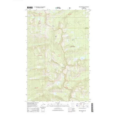
2017 Map of Piper-Crow Pass
USGS Topo · Published 2017About this map
The Mission Range dominates this landscape along the border of Missoula and Lake counties, where high-elevation basins and steep canyons define the terrain. Within the Flathead National Forest, the map records a network of water features including the Crow Cr Lakes and Lower Cold Lake. Key topographical landmarks such as Goat Peak and Piper- Crow Pass serve as critical points for understanding the area's natural drainage and historical transit routes through the mountains. The presence of North Crow Creek Canyon and Terrace Falls highlights the dramatic vertical relief of the region. This 2017 edition provides a detailed view of the Public Land Survey System (PLSS) townships, particularly t21n r18w and t22n r18w, which are essential for property researchers and land use historians tracking modern boundaries against the physical landscape.
Find a feature on this map
37 named features on this map. Tap any name to fly to it.
Don’t see what you’re looking for? This feature index may not catch every label — zoom into the map to look around manually.
Map Details
Editions of this 2017 Piper-Crow Pass Map
This is the sole edition of this map. No revisions or reprints were ever made.
Other maps of this area

1920 · Flathead Lake
USGS Topo · 1:125,000

1921 · Elbow Lake
USGS Topo · 1:125,000

1955 · Choteau
USGS Topo · 1:250,000

1956 · Wallace
USGS Topo · 1:250,000

1957 · Choteau
USGS Topo · 1:250,000

1958 · Choteau
USGS Topo · 1:250,000

1960 · Wallace
USGS Topo · 1:250,000

1962 · Choteau
USGS Topo · 1:250,000

1964 · East Bay
USGS Topo · 1:24,000

1964 · Fort Connah
USGS Topo · 1:24,000