Loading...
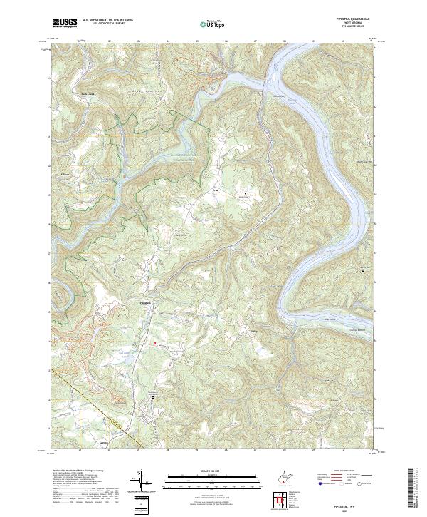
Loading map...2023 Map of Pipestem
USGS Topo · Published 2023About this map
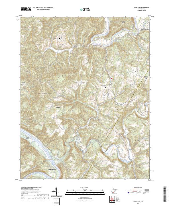
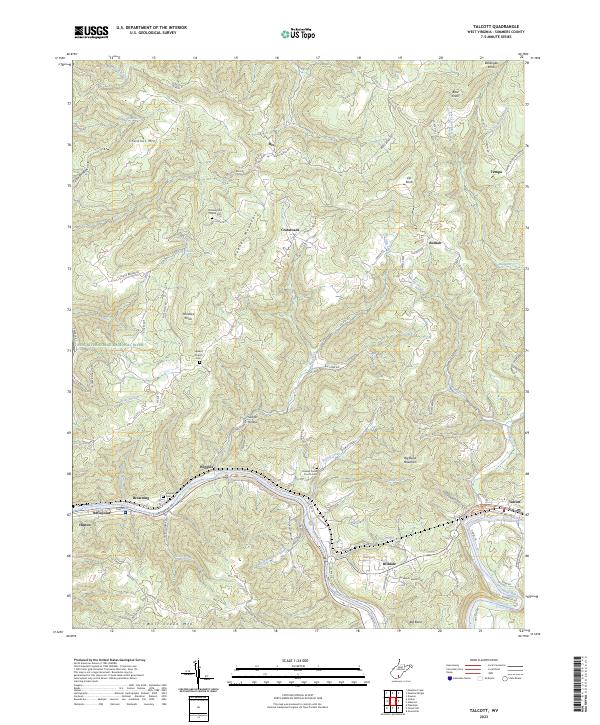
The New River carves a deep path through this section of West Virginia, defining the boundary between Summers and Mercer counties. Along its winding banks, the landscape is marked by historic river crossings like Haines Ferry and small settlements such as Crumps Bottom and Farley. The terrain is dominated by prominent ridges including Bluestone Mtn and Tallery Mtn, which frame the protected corridors of the Bluestone National Scenic River.
Find a feature on this map
86 named features on this map. Tap any name to fly to it.
Don’t see what you’re looking for? This feature index may not catch every label — zoom into the map to look around manually.
Map Details
Date Portrayed2023
Date Published2023
PublisherU.S. Geological Survey
Map TypeTopographic
Scale1:24000
Physical Dimensions24 x 29 inches
Editions of this 2023 Pipestem Map
This is the sole edition of this map. No revisions or reprints were ever made.
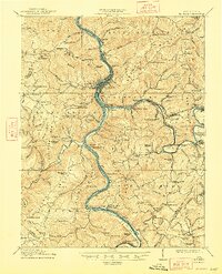
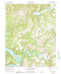
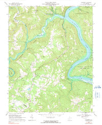
Historical Maps of Pipestem Through Time
9 maps found

Featured Locations
Source Details
SourceU.S. Geological Survey
CopyrightPublic Domain