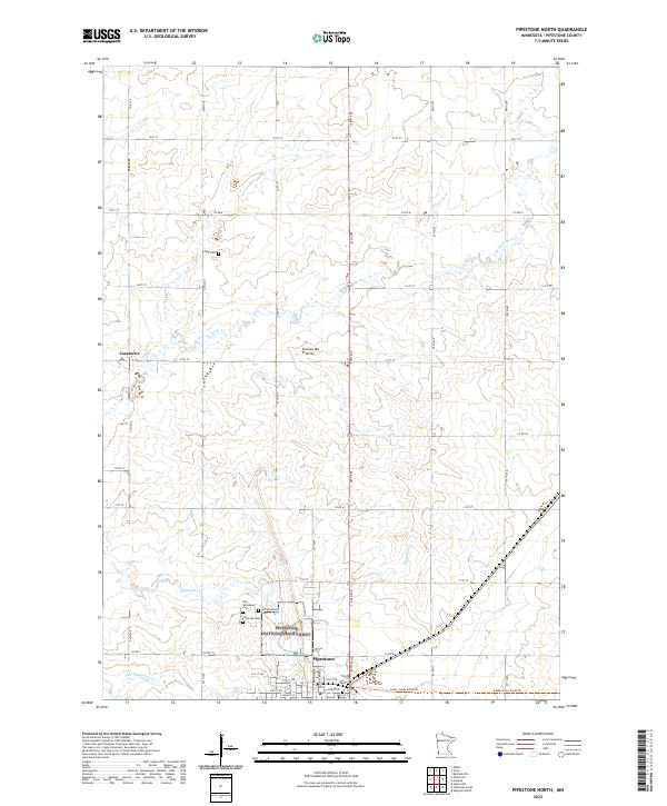
2022 Map of Pipestone North
USGS Topo · Published 2022About this map
The Pipestone National Monument anchors the southern portion of this landscape, preserving the cultural and geological significance of the red pipestone quarries. Adjacent to it, the Northern Tallgrass Prairie National Wildlife Refuge protects the native tallgrass environment characteristic of the Coteau des Prairies upland. The area transitions from the rural settlement of Cazenovia in the west to the more developed street grid of Pipestone in the south, where major thoroughfares like Main St W and 4th St NW define the town center.
Find a feature on this map
38 named features on this map. Tap any name to fly to it.
Don’t see what you’re looking for? This feature index may not catch every label — zoom into the map to look around manually.
Map Details
Editions of this 2022 Pipestone North Map
This is the sole edition of this map. No revisions or reprints were ever made.
Historical Maps of Pipestone Through Time
14 maps found
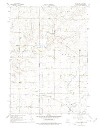
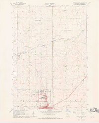
1967 Edgerton North
Pipestone County, MN
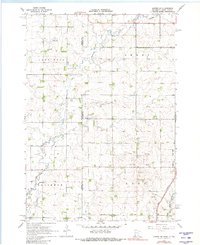
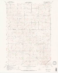
1967 Elkton SW
Pipestone County, MN
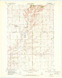
1967 Jasper NW
Pipestone County, MN
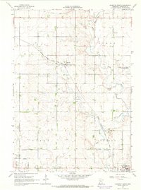
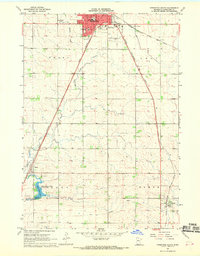
1967 Pipestone North
Pipestone County, MN
1967 Pipestone South
Pipestone County, MN
1967 Ruthton NW
Pipestone County, MN
1967 Verdi
Pipestone County, MN
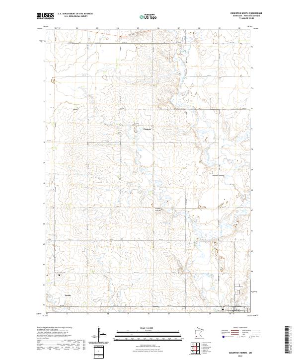
2022 Edgerton North
Pipestone County, MN
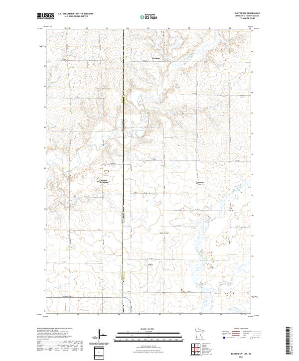
2022 Elkton SW
Pipestone County, MN
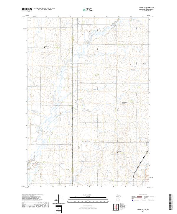
2022 Jasper NW
Pipestone County, MN
2022 Pipestone North
Pipestone County, MN
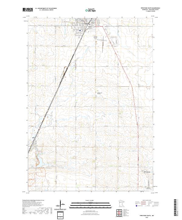
2022 Pipestone South
Pipestone County, MN
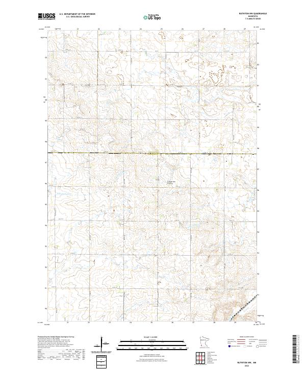
2022 Ruthton NW
Pipestone County, MN
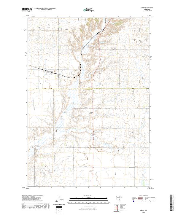
2022 Verdi
Pipestone County, MN