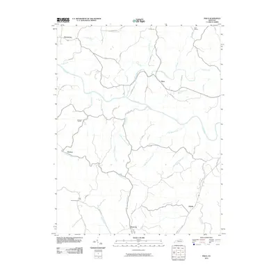
2010 Map of Piqua
USGS Topo · Published 2010About this map
The Licking River winds through this central Kentucky landscape, carving a path between the small crossroads settlements of Kentontown, Piqua, and Ellisville. This 2010 topographic record captures a predominantly agricultural region defined by a dense network of creek branches, including Johnson Creek, Crooked Creek, and the many forks of Sugar Creek. Family roots and local history are anchored by landmarks like the Bethlehem Cemetery and Salt Well Cemetery, reflecting the area's long-established rural community.
Find a feature on this map
43 named features on this map. Tap any name to fly to it.
Don’t see what you’re looking for? This feature index may not catch every label — zoom into the map to look around manually.
Map Details
Editions of this 2010 Piqua Map
This is the sole edition of this map. No revisions or reprints were ever made.
Other maps of this area

1915 · Maysville
USGS Topo · 1:62,500

1919 · Maysville
USGS Topo · 1:62,500

1952 · Cowan
USGS Topo · 1:24,000

1952 · Sardis
USGS Topo · 1:24,000

1952 · Mount Olivet
USGS Topo · 1:24,000

1952 · Piqua
USGS Topo · 1:24,000

1952 · Shady Nook
USGS Topo · 1:24,000

1952 · Claysville
USGS Topo · 1:24,000

1953 · Carlisle
USGS Topo · 1:24,000

1953 · Moorefield
USGS Topo · 1:24,000