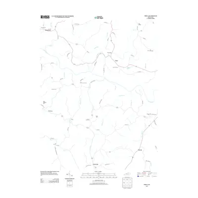
2013 Map of Piqua
USGS Topo · Published 2013About this map
The Licking River winds through this rural landscape north of Barterville, carving a path through a region defined by its narrow creek valleys and small upland settlements. In the early 21st century, the area remains anchored by community landmarks such as the Masonic Lodge Hall and a network of local roads following historic routes, including the Old Maysville Rd and Buffalo Trace Rd. These corridors connect the hamlets of Piqua and Kentontown, where long-standing heritage is preserved in sites like the Piqua Church Cem and Rosser Cem.
Find a feature on this map
71 named features on this map. Tap any name to fly to it.
Don’t see what you’re looking for? This feature index may not catch every label — zoom into the map to look around manually.
Map Details
Editions of this 2013 Piqua Map
This is the sole edition of this map. No revisions or reprints were ever made.
Other maps of this area

1915 · Maysville
USGS Topo · 1:62,500

1919 · Maysville
USGS Topo · 1:62,500

1952 · Cowan
USGS Topo · 1:24,000

1952 · Sardis
USGS Topo · 1:24,000

1952 · Mount Olivet
USGS Topo · 1:24,000

1952 · Piqua
USGS Topo · 1:24,000

1952 · Shady Nook
USGS Topo · 1:24,000

1952 · Claysville
USGS Topo · 1:24,000

1953 · Carlisle
USGS Topo · 1:24,000

1953 · Moorefield
USGS Topo · 1:24,000