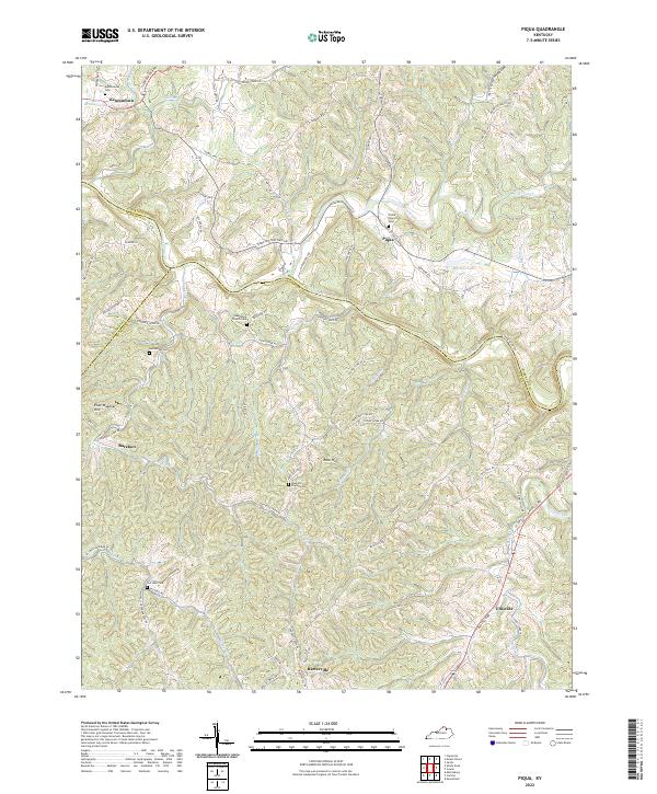
2022 Map of Piqua
USGS Topo · Published 2022About this map
The Licking River carves a deep valley through this corner of Northern Kentucky, where the boundaries of Nicholas, Harrison, and Robertson Counties converge. This agricultural landscape is defined by its ridge-top settlements and winding country roads that follow the serpentine contours of the terrain. Small hamlets like Kentontown and Piqua serve as local anchors, while the strangely named Barefoot and Barterville sit further south among the hills.
Find a feature on this map
81 named features on this map. Tap any name to fly to it.
Don’t see what you’re looking for? This feature index may not catch every label — zoom into the map to look around manually.
Map Details
Editions of this 2022 Piqua Map
This is the sole edition of this map. No revisions or reprints were ever made.
Other maps of this area
1915 · Maysville
USGS Topo · 1:62,500
1919 · Maysville
USGS Topo · 1:62,500
1952 · Cowan
USGS Topo · 1:24,000
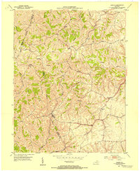
1952 · Sardis
USGS Topo · 1:24,000
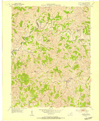
1952 · Mount Olivet
USGS Topo · 1:24,000
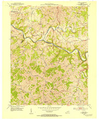
1952 · Piqua
USGS Topo · 1:24,000
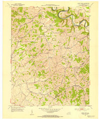
1952 · Shady Nook
USGS Topo · 1:24,000
1952 · Claysville
USGS Topo · 1:24,000
1953 · Carlisle
USGS Topo · 1:24,000
1953 · Moorefield
USGS Topo · 1:24,000