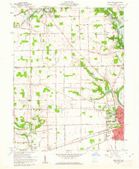
1961 Map of Piqua West
USGS Topo · Published 1962About this map
Piqua dominates the southeastern quadrant of this 1961 survey, where the Miami River meets Swift Run Lake and Echo Lake. The city's industrial and civic footprint is clear, featuring the Pennsylvania Railroad corridor, Washington Sch, and the expansive Forest Hill Cemetery. To the north, the Miami Conservancy District Lockington Reserve and the Lockington Dam underscore the region's managed water systems along Loramie Creek.
Find a feature on this map
61 named features on this map. Tap any name to fly to it.
Don’t see what you’re looking for? This feature index may not catch every label — zoom into the map to look around manually.
Map Details
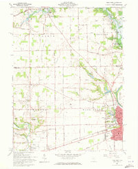
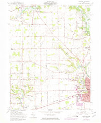
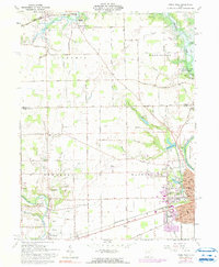
Editions of this 1961 Piqua West Map
4 editions found
Other maps of this area

1909 · Loramie
USGS Topo · 1:62,500

1911 · Loramie
USGS Topo · 1:62,500

1911 · Covington
USGS Topo · 1:62,500

1913 · Sidney
USGS Topo · 1:62,500

1914 · Troy
USGS Topo · 1:62,500

1944 · Covington
USGS Topo · 1:62,500

1944 · Sidney
USGS Topo · 1:62,500

1944 · Loramie
USGS Topo · 1:62,500

1944 · Troy
USGS Topo · 1:62,500

1953 · Muncie
USGS Topo · 1:250,000