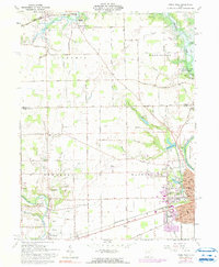
1961 Map of Piqua West
USGS Topo · Published 1990About this map
Piqua serves as the industrial and cultural anchor of this western Ohio landscape, where the Great Miami River and the historic Miami and Erie Canal converge. In the early 1960s, the western edge of the city showed significant development, including Landing Park, Echo Hill Golf Course, and the Piqua Airport. Further west, the terrain is defined by a systematic drainage network including McMaken Ditch and Rudy Ditch, facilitating agricultural land use around smaller settlements like Houston and Covington.
Find a feature on this map
66 named features on this map. Tap any name to fly to it.
Don’t see what you’re looking for? This feature index may not catch every label — zoom into the map to look around manually.
Map Details
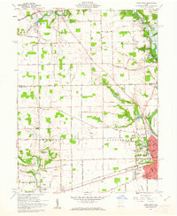
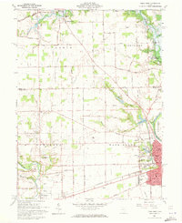
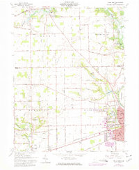
Editions of this 1961 Piqua West Map
4 editions found
Other maps of this area

1909 · Loramie
USGS Topo · 1:62,500

1911 · Loramie
USGS Topo · 1:62,500

1911 · Covington
USGS Topo · 1:62,500

1913 · Sidney
USGS Topo · 1:62,500

1914 · Troy
USGS Topo · 1:62,500

1944 · Covington
USGS Topo · 1:62,500

1944 · Sidney
USGS Topo · 1:62,500

1944 · Loramie
USGS Topo · 1:62,500

1944 · Troy
USGS Topo · 1:62,500

1953 · Muncie
USGS Topo · 1:250,000