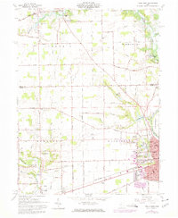
1961 Map of Piqua West
USGS Topo · Published 1974About this map
The Miami River and its major tributaries, Loramie Creek and the Stillwater River, dominate this West Ohio landscape, recorded at a time when traditional agriculture met modern infrastructure. Near the city of Piqua, the Miami Conservancy District and its Lockington Reserve manage the waters, while the Penn Central railroad cuts through the terrain. The map captures the western growth of Piqua and the smaller settlements of Covington, Houston, and Mount Jefferson.
Find a feature on this map
53 named features on this map. Tap any name to fly to it.
Don’t see what you’re looking for? This feature index may not catch every label — zoom into the map to look around manually.
Map Details
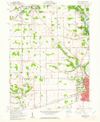
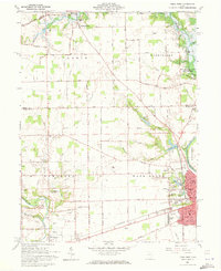
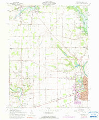
Editions of this 1961 Piqua West Map
4 editions found
Other maps of this area

1909 · Loramie
USGS Topo · 1:62,500

1911 · Loramie
USGS Topo · 1:62,500

1911 · Covington
USGS Topo · 1:62,500

1913 · Sidney
USGS Topo · 1:62,500

1914 · Troy
USGS Topo · 1:62,500

1944 · Covington
USGS Topo · 1:62,500

1944 · Sidney
USGS Topo · 1:62,500

1944 · Loramie
USGS Topo · 1:62,500

1944 · Troy
USGS Topo · 1:62,500

1953 · Muncie
USGS Topo · 1:250,000