
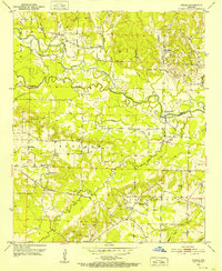
1951 Map of Pisgah
USGS Topo · Published 1952About this map
The Little Missouri River meanders across the Hempstead and Pike county line, shaping a landscape defined by the Prescott and Northwestern railroad and small agricultural communities in the early 1950s. The area is dense with family-named landmarks and small burial grounds like Nash Cem and Billstown Cem, reflecting a long-established rural population. Small religious centers such as Bruce Chapel, Ball Chapel, and Macedonia Ch serve the surrounding townships of Saline, Redland, and Wallace.
Find a feature on this map
40 named features on this map. Tap any name to fly to it.
Don’t see what you’re looking for? This feature index may not catch every label — zoom into the map to look around manually.
Map Details
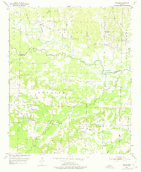
Editions of this 1951 Pisgah Map
3 editions found
Other maps of this area

1901 · Gurdon
USGS Topo · 1:125,000

1906 · Caddo Gap
USGS Topo · 1:125,000

1943 · Antoine
USGS Topo · 1:62,500

1951 · Blevins
USGS Topo · 1:24,000

1951 · Washington
USGS Topo · 1:24,000

1951 · McCaskill
USGS Topo · 1:24,000

1953 · El Dorado
USGS Topo · 1:250,000

1955 · Little Rock
USGS Topo · 1:250,000

1956 · Little Rock
USGS Topo · 1:250,000

1957 · El Dorado
USGS Topo · 1:250,000