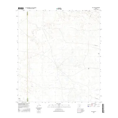
2016 Map of Pita Camp
USGS Topo · Published 2016About this map
Pita Camp and the surrounding ranching landscape define this portion of the Texas coastal plain during the early 21st century. The map illustrates a network of private access routes and ranch gates, such as Suman Gate, that signify the region's managed pastoral land use. Notable terrain features like Quiteria Hill and Ebony Hill rise above the low-lying wetlands and ephemeral water bodies, including Quiteria Lake.
Find a feature on this map
9 named features on this map. Tap any name to fly to it.
Don’t see what you’re looking for? This feature index may not catch every label — zoom into the map to look around manually.
Map Details
Editions of this 2016 Pita Camp Map
This is the sole edition of this map. No revisions or reprints were ever made.
Other maps of this area

1921 · Falfurrias
USGS Topo · 1:125,000

1923 · Armstrong
USGS Topo · 1:62,500

1928 · Sarita
USGS Topo · 1:125,000

1949 · Mc Allen
USGS Topo · 1:250,000

1950 · Corpus Christi
USGS Topo · 1:250,000

1953 · Brownsville
USGS Topo · 1:250,000

1954 · McAllen
USGS Topo · 1:250,000

1954 · Sarita
USGS Topo · 1:62,500

1956 · Corpus Christi
USGS Topo · 1:250,000

1956 · Pita Camp
USGS Topo · 1:24,000