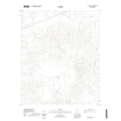
2019 Map of Pitchfork Flats
USGS Topo · Published 2019About this map
Pitchfork Flats occupies the heart of this King County landscape, where the plains give way to a dense network of erosional canyons and creek beds. To the north, the S Wichita River flows eastward, joined by tributaries such as China Cr and Long Canyon Cr. The terrain is characterized by sharp relief and family-named landmarks, including the prominent Dog Town Mtn in the northeast and deep incisions like Harper Young Canyon and Cedar Point Canyon.
Find a feature on this map
23 named features on this map. Tap any name to fly to it.
Don’t see what you’re looking for? This feature index may not catch every label — zoom into the map to look around manually.
Map Details
Editions of this 2019 Pitchfork Flats Map
This is the sole edition of this map. No revisions or reprints were ever made.
Other maps of this area

1954 · Lubbock
USGS Topo · 1:250,000

1958 · Pursley House
USGS Topo · 1:24,000

1958 · Southerland Canyon
USGS Topo · 1:24,000

1959 · Bob Creek
USGS Topo · 1:24,000

1967 · Guthrie NW
USGS Topo · 1:24,000

1967 · Fourmile Hill
USGS Topo · 1:24,000

1968 · Pitchfork Ranch
USGS Topo · 1:24,000

1968 · Guthrie
USGS Topo · 1:24,000

1968 · East Afton NE
USGS Topo · 1:24,000

1968 · Pitchfork Flats
USGS Topo · 1:24,000