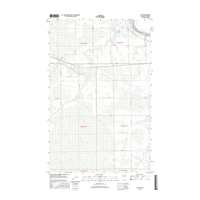
2016 Map of Pitt
USGS Topo · Published 2016About this map
Pitt serves as the primary node of activity in this northern Minnesota landscape, situated where Main St W and Co Rd 167 intersect. The terrain is defined by a dense network of slow-moving waterways and extensive wetlands that transition toward the international border. The northern edge of the map is marked by the Canada-United States border as it follows the course of the Rainy River.
Find a feature on this map
45 named features on this map. Tap any name to fly to it.
Don’t see what you’re looking for? This feature index may not catch every label — zoom into the map to look around manually.
Map Details
Editions of this 2016 Pitt Map
This is the sole edition of this map. No revisions or reprints were ever made.
Other maps of this area

1918 · Williams
USGS Topo · 1:62,500

1919 · Peppermint Creek
USGS Topo · 1:62,500

1919 · Canada
USGS Topo · 1:62,500

1921 · Baudette
USGS Topo · 1:62,500

1943 · Peppermint Creek
USGS Topo · 1:62,500

1954 · Roseau
USGS Topo · 1:250,000

1957 · Roseau
USGS Topo · 1:250,000

1958 · Roseau
USGS Topo · 1:250,000
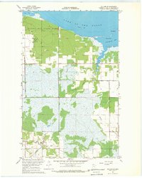
1967 · Williams SE
USGS Topo · 1:24,000
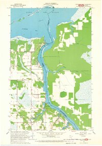
1967 · Wheelers Point
USGS Topo · 1:24,000