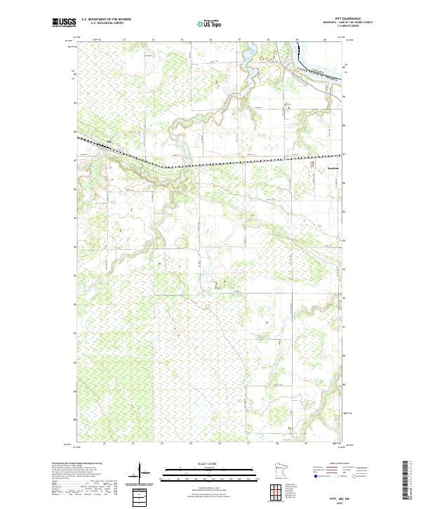
2022 Map of Pitt
USGS Topo · Published 2022About this map
Pitt serves as a central point of settlement in this northern Minnesota landscape, situated along Main St W just south of the Winter Road River. The terrain is defined by a dense network of hydrologic features that flow toward the international border with Canada. The Rainy River and its various tributaries, including Miller Cr and Peppermint Cr, navigate a low-lying region marked by extensive wetlands. To the east, the outskirts of Baudette begin to appear, connected by a grid of county roads such as Co Rd 167 and Co St Aid Hwy 6. This map illustrates the transition from organized township divisions to the meandering riparian corridors of the W Fork Baudette River, providing a clear look at the rural infrastructure and natural drainage patterns of Lake of the Woods County.
Find a feature on this map
49 named features on this map. Tap any name to fly to it.
Don’t see what you’re looking for? This feature index may not catch every label — zoom into the map to look around manually.
Map Details
Editions of this 2022 Pitt Map
This is the sole edition of this map. No revisions or reprints were ever made.
Other maps of this area

1918 · Williams
USGS Topo · 1:62,500

1919 · Peppermint Creek
USGS Topo · 1:62,500

1919 · Canada
USGS Topo · 1:62,500

1921 · Baudette
USGS Topo · 1:62,500

1943 · Peppermint Creek
USGS Topo · 1:62,500

1954 · Roseau
USGS Topo · 1:250,000

1957 · Roseau
USGS Topo · 1:250,000

1958 · Roseau
USGS Topo · 1:250,000
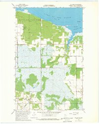
1967 · Williams SE
USGS Topo · 1:24,000
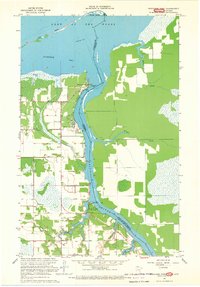
1967 · Wheelers Point
USGS Topo · 1:24,000