
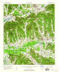
1954 Map of Pittsboro
USGS Topo · Published 1954About this map
The Skuna River and Yalobusha River define the hydraulic character of this mid-century Mississippi landscape, where flood control efforts are evident in the Grenada Reservoir boundaries. Agricultural and timber interests are anchored by settlements like Bruce, Pittsboro, and Calhoun City, while the Mississippi & Skuna Valley RR provides a critical industrial corridor in the northern reaches.
Find a feature on this map
83 named features on this map. Tap any name to fly to it.
Don’t see what you’re looking for? This feature index may not catch every label — zoom into the map to look around manually.
Map Details
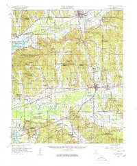
Editions of this 1954 Pittsboro Map
3 editions found
Other maps of this area

1953 · Walthall
USGS Topo · 1:62,500

1953 · West Point
USGS Topo · 1:250,000

1954 · Duck Hill
USGS Topo · 1:62,500

1954 · Water Valley
USGS Topo · 1:62,500

1955 · Water Valley
USGS Topo · 1:62,500

1955 · Coffeeville
USGS Topo · 1:62,500

1956 · Tupelo
USGS Topo · 1:250,000

1958 · Tupelo
USGS Topo · 1:250,000

1958 · West Point
USGS Topo · 1:250,000

1963 · West Point
USGS Topo · 1:250,000