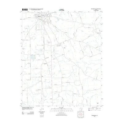
2013 Map of Pittsburg
USGS Topo · Published 2013About this map
Pittsburg serves as the primary hub of this East Texas landscape, where a grid of streets including S Greer Blvd and Jefferson St meets the rural reaches of Camp County. The terrain is defined by a dense network of creek branches, such as Darby Cr, Prairie Cr, and Mile Br, which carve through the countryside toward localized water bodies like Highland Club Lake and Bennett Lake. Small rural communities and named locales such as Crossroads, Pine, and Ebenezer are scattered across the quadrangle, connected by farm-to-market roads and county routes.
Find a feature on this map
117 named features on this map. Tap any name to fly to it.
Don’t see what you’re looking for? This feature index may not catch every label — zoom into the map to look around manually.
Map Details
Editions of this 2013 Pittsburg Map
This is the sole edition of this map. No revisions or reprints were ever made.
Other maps of this area

1953 · Texarkana
USGS Topo · 1:250,000

1956 · Texarkana
USGS Topo · 1:250,000

1956 · Tyler
USGS Topo · 1:250,000

1960 · Bettie
USGS Topo · 1:24,000

1960 · Thomas
USGS Topo · 1:24,000

1960 · Leesburg
USGS Topo · 1:24,000

1960 · Coffeeville
USGS Topo · 1:24,000

1960 · La Fayette
USGS Topo · 1:24,000

1960 · Pittsburg
USGS Topo · 1:24,000

1964 · Harvard
USGS Topo · 1:24,000