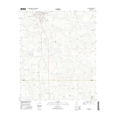
2016 Map of Pittsburg
USGS Topo · Published 2016About this map
Pittsburg serves as the regional anchor for this Northeast Texas landscape, where the town street grid transitions into a network of farm-to-market roads and rural country lanes. The terrain is defined by a dense drainage system including Mile Br, Prairie Cr, and Wallace Br, which feed into local water bodies like Bennett Lake and Highland Club Lake. This 2016 survey documents the enduring rural character of the area, punctuated by small settlements like Pine and Ebenezer. A significant number of localized burial sites, including Rosehill Cem, Smart Cem, and Christian Hope Cem, are scattered across the landscape, providing essential points of reference for genealogists and local historians. The transition from the elevated Union Ridge to the low-lying Catfish Br illustrates the varied topography of the Camp Co and Upshur Co borderlands.
Find a feature on this map
107 named features on this map. Tap any name to fly to it.
Don’t see what you’re looking for? This feature index may not catch every label — zoom into the map to look around manually.
Map Details
Editions of this 2016 Pittsburg Map
This is the sole edition of this map. No revisions or reprints were ever made.
Other maps of this area

1953 · Texarkana
USGS Topo · 1:250,000

1956 · Texarkana
USGS Topo · 1:250,000

1956 · Tyler
USGS Topo · 1:250,000

1960 · Bettie
USGS Topo · 1:24,000

1960 · Thomas
USGS Topo · 1:24,000

1960 · Leesburg
USGS Topo · 1:24,000

1960 · Coffeeville
USGS Topo · 1:24,000

1960 · La Fayette
USGS Topo · 1:24,000

1960 · Pittsburg
USGS Topo · 1:24,000

1964 · Harvard
USGS Topo · 1:24,000