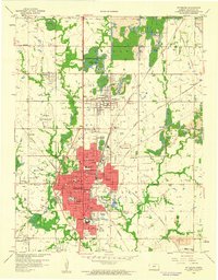
1959 Map of Pittsburg
USGS Topo · Published 1960About this map
Pittsburg serves as the focal point of this Southeast Kansas landscape, illustrating a community built upon a complex intersection of heavy industry and education. The footprint of Kansas State College of Pittsburg and the dense concentration of urban features like St Marys Sch and Mt Carmel Hospital contrast sharply with the surrounding terrain. This rural perimeter is defined by an extensive network of Strip Mines, which dominate the geography north and west of the city center. These industrial excavations are interwoven with a dense web of rail lines, including the Atchison Topeka and Santa Fe and the Missouri Pacific, which once served the region's productive coal fields. Smaller outlying settlements like Frontenac, Chicopee, and Dunkirk appear as satellite communities linked by these transport corridors, while Crawford County No 1 State Park offers a reclaimed natural space amidst the active mining operations.
Find a feature on this map
49 named features on this map. Tap any name to fly to it.
Don’t see what you’re looking for? This feature index may not catch every label — zoom into the map to look around manually.
Map Details
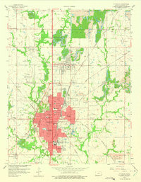
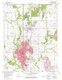
Editions of this 1959 Pittsburg Map
3 editions found
Other maps of this area

1884 · Fort Scott
USGS Topo · 1:125,000

1886 · Joplin
USGS Topo · 1:125,000

1886 · Fort Scott
USGS Topo · 1:125,000

1893 · Fort Scott
USGS Topo · 1:125,000

1894 · Joplin
USGS Topo · 1:125,000

1943 · Cherokee
USGS Topo · 1:62,500

1945 · Pittsburg
USGS Topo · 1:62,500

1945 · Cherokee
USGS Topo · 1:62,500

1947 · Joplin
USGS Topo · 1:250,000

1947 · Pittsburg
USGS Topo · 1:62,500