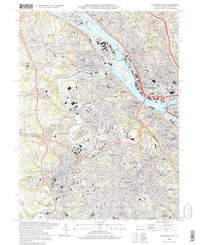
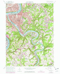
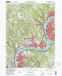
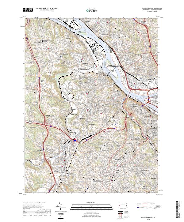
1997 Map of Pittsburg West
USGS Topo · Published 1998About this map
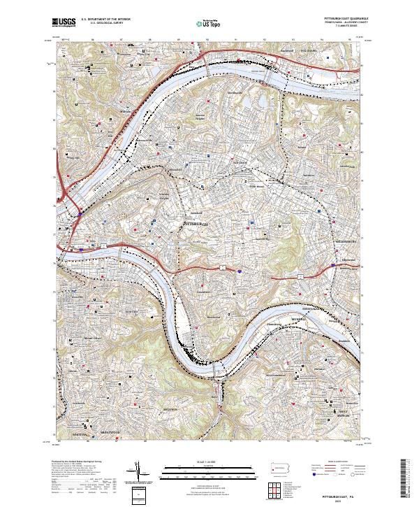
The confluence of the Allegheny River and Monongahela River forms the industrial and geographic heart of this landscape at the Golden Triangle. This late-twentieth-century study shows the intricate urban density of the Pittsburgh Corp line as it extends westward across the Ohio River toward Mc Kees Rocks. The riverfronts are dominated by the P & L E RR and massive facilities like the Western State Penitentiary on the northern bank and the industrial span of Neville Island.
Find a feature on this map
90 named features on this map. Tap any name to fly to it.
Don’t see what you’re looking for? This feature index may not catch every label — zoom into the map to look around manually.
Map Details
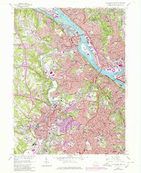
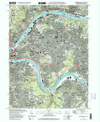
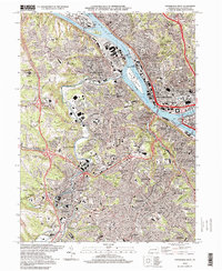
Editions of this 1997 Pittsburg West Map
2 editions found
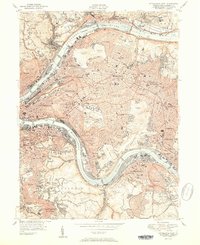
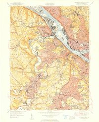
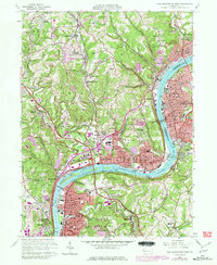
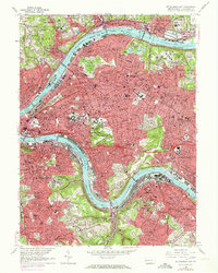
Historical Maps of Pittsburgh Through Time
22 maps found

1906 Sewickley
Allegheny County, PA
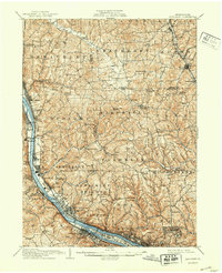
1908 Sewickley
Allegheny County, PA

1948 Pittsburgh West
Allegheny County, PA
1951 Pittsburgh East
Allegheny County, PA
1951 Pittsburg West
Allegheny County, PA

1953 Mc Keesport
Allegheny County, PA

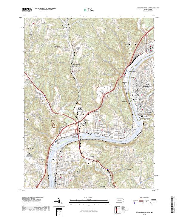
1953 New Kensington West
Allegheny County, PA

1956 Pittsburgh East
Allegheny County, PA

1956 Pittsburgh West
Allegheny County, PA
1960 Mc Keesport
Allegheny County, PA
1960 New Kensington West
Allegheny County, PA
1960 Pittsburgh East
Allegheny County, PA
1960 Pittsburgh West
Allegheny County, PA

1993 Mc Keesport
Allegheny County, PA
1993 New Kensington West
Allegheny County, PA

1993 Pittsburgh East
Allegheny County, PA

1993 Pittsburgh West
Allegheny County, PA
1997 Pittsburgh East
Allegheny County, PA
1997 Pittsburgh West
Allegheny County, PA
2023 New Kensington West
Allegheny County, PA
2023 Pittsburgh East
Allegheny County, PA
2023 Pittsburgh West
Allegheny County, PA