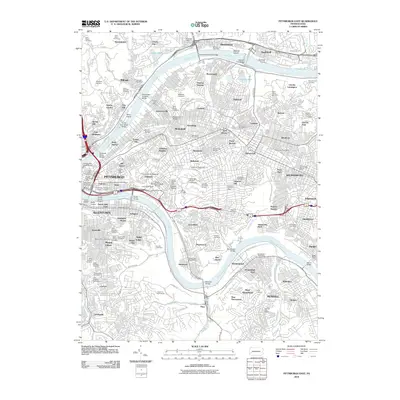
2010 Map of Pittsburgh East
USGS Topo · Published 2010About this map
The Allegheny River and Monongahela River dominate this urban landscape, carving through the dense neighborhood fabrics of eastern Pittsburgh. This 2010 survey illustrates the city's complex topography and academic heritage, anchored by the massive campuses of the University of Pittsburgh and Carnegie Mellon University. The riverfronts are characterized by a series of industrial-era crossings such as the Washington Crossing Bridge and Glenwood Bridge, while the residential hills are punctuated by sprawling green spaces like the historic Allegheny Cemetery and Frick Park.
Find a feature on this map
142 named features on this map. Tap any name to fly to it.
Don’t see what you’re looking for? This feature index may not catch every label — zoom into the map to look around manually.
Map Details
Editions of this 2010 Pittsburgh East Map
This is the sole edition of this map. No revisions or reprints were ever made.
Other maps of this area

1904 · Mc Keesport
USGS Topo · 1:62,500

1904 · Carnegie
USGS Topo · 1:62,500

1906 · Carnegie
USGS Topo · 1:62,500

1906 · Sewickley
USGS Topo · 1:62,500

1907 · Pittsburg
USGS Topo · 1:62,500

1908 · Sewickley
USGS Topo · 1:62,500

1908 · Carnegie
USGS Topo · 1:62,500

1908 · New Kensington
USGS Topo · 1:62,500

1910 · New Kensington
USGS Topo · 1:62,500

1948 · Pittsburgh West
USGS Topo · 1:24,000