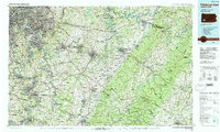
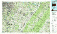
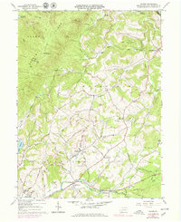
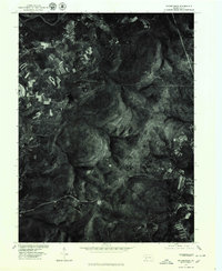
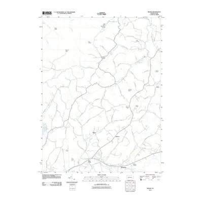
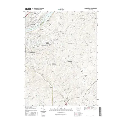
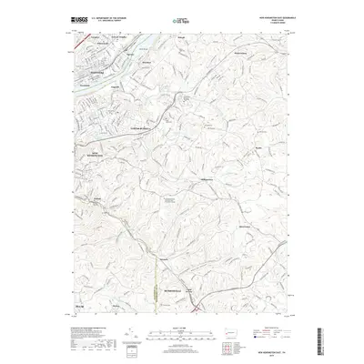
1986 Map of Pittsburgh East
USGS Topo · Published 1988About this map
The Monongahela River and Youghiogheny River valleys form the industrial heart of this mid-1980s landscape, winding through steel towns like Duquesne, McKeesport, and Clairton. East of the immediate Pittsburgh urban core, the terrain rises toward the formidable ridges of Chestnut Ridge and Laurel Hill. This period captures the region's transport network at a point of transition, with major rail lines including Conrail and the Chessie System serving coal and manufacturing hubs alongside the established path of the Pennsylvania Turnpike.
Find a feature on this map
271 named features on this map. Tap any name to fly to it.
Don’t see what you’re looking for? This feature index may not catch every label — zoom into the map to look around manually.
Map Details
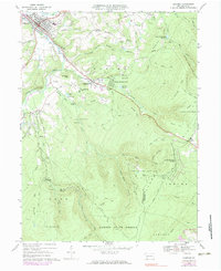
Editions of this 1986 Pittsburgh East Map
3 editions found

Historical Maps of Pittsburgh Through Time
37 maps found
1953 New Kensington East
Westmoreland County, PA
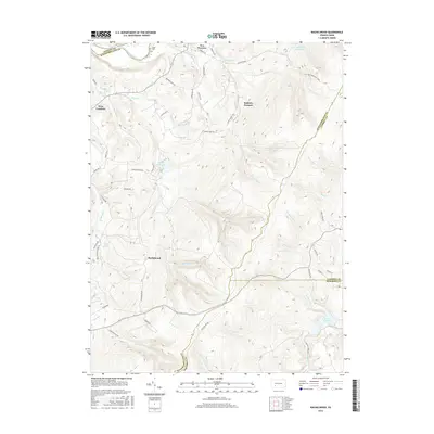
1964 Rachelwood
Westmoreland County, PA
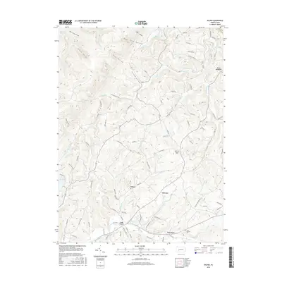
1964 Wilpen
Westmoreland County, PA
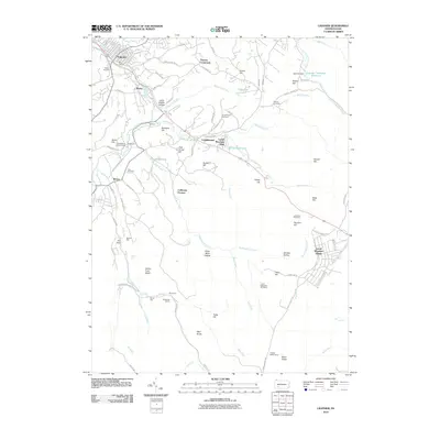
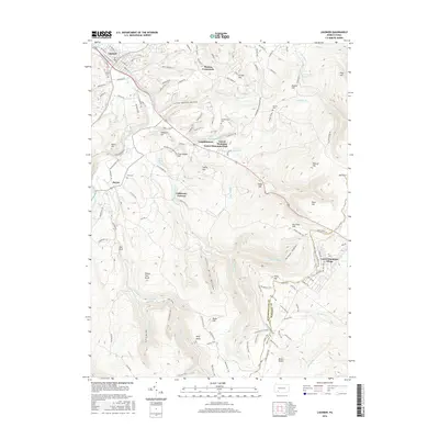
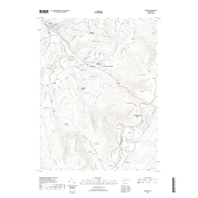
1967 Ligonier
Westmoreland County, PA
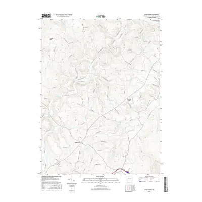
1967 Stahlstown
Westmoreland County, PA
1973 Rachelwood
Westmoreland County, PA

1977 Ligonier
Westmoreland County, PA
1977 Rachelwood
Westmoreland County, PA
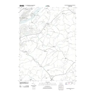
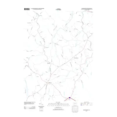
1986 Pittsburgh East
Westmoreland County, PA
1993 New Kensington East
Westmoreland County, PA
1998 New Kensington East
Westmoreland County, PA
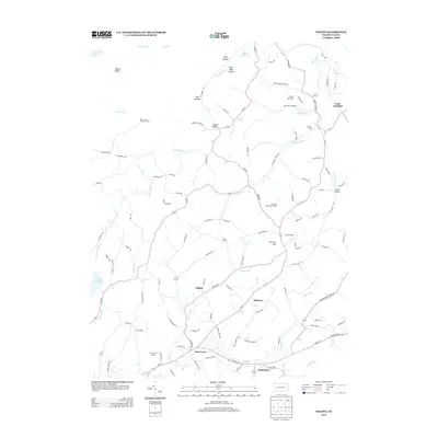
1998 Rachelwood
Westmoreland County, PA
2010 Ligonier
Westmoreland County, PA
2010 New Kensington East
Westmoreland County, PA
2010 Rachelwood
Westmoreland County, PA
2010 Stahlstown
Westmoreland County, PA
2010 Wilpen
Westmoreland County, PA
2013 Ligonier
Westmoreland County, PA
2013 New Kensington East
Westmoreland County, PA
2013 Rachelwood
Westmoreland County, PA
2013 Stahlstown
Westmoreland County, PA
2013 Wilpen
Westmoreland County, PA
2016 Ligonier
Westmoreland County, PA
2016 New Kensington East
Westmoreland County, PA
2016 Rachelwood
Westmoreland County, PA
2016 Stahlstown
Westmoreland County, PA
2016 Wilpen
Westmoreland County, PA
2019 Ligonier
Westmoreland County, PA
2019 New Kensington East
Westmoreland County, PA
2019 Rachelwood
Westmoreland County, PA
2019 Stahlstown
Westmoreland County, PA
2019 Wilpen
Westmoreland County, PA
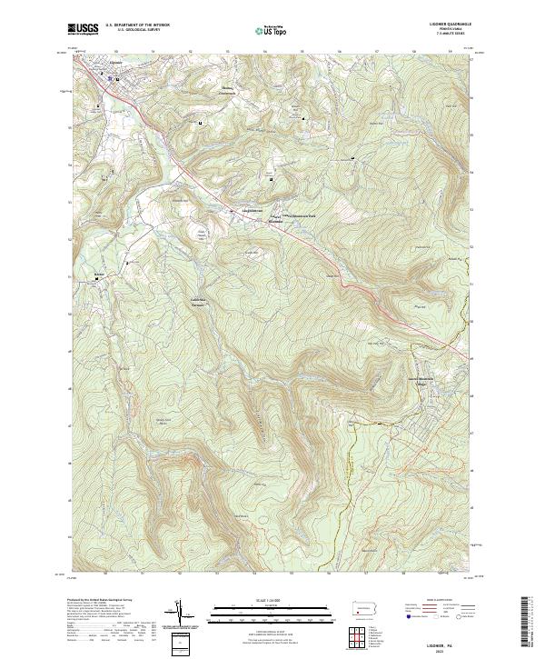
2023 Ligonier
Westmoreland County, PA
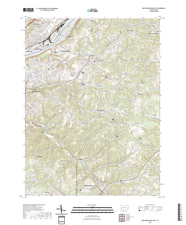
2023 New Kensington East
Westmoreland County, PA
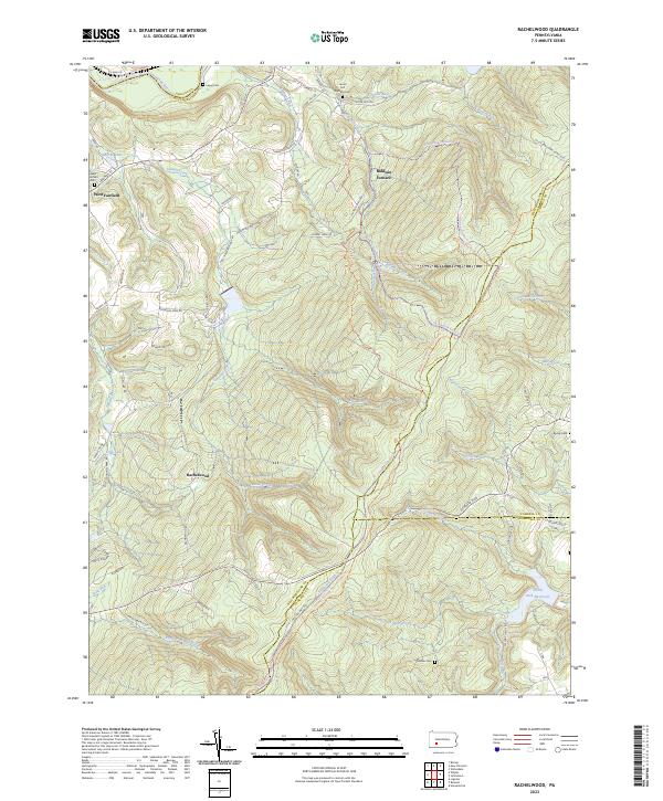
2023 Rachelwood
Westmoreland County, PA
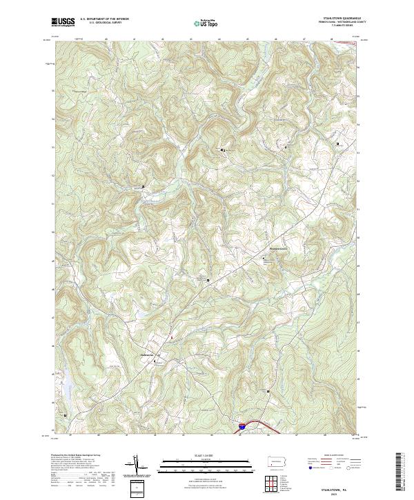
2023 Stahlstown
Westmoreland County, PA
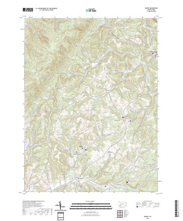
2023 Wilpen
Westmoreland County, PA