
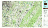
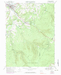
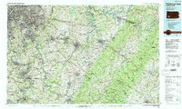
1986 Map of Pittsburgh East
USGS Topo · Published 1986This historical map portrays the area of Pittsburgh East in 1986, primarily covering Westmoreland County as well as portions of Allegheny County, Washington County, Cambria County, Fayette County, Indiana County, and Somerset County. Featuring a scale of 1:100000, this map provides a highly detailed snapshot of the terrain, roads, buildings, counties, and historical landmarks in the Pittsburgh East region at the time. Published in 1986, it is one of 3 known editions of this map due to revisions or reprints.
Find a feature on this map
399 named features on this map. Tap any name to fly to it.
Don’t see what you’re looking for? This feature index may not catch every label — zoom into the map to look around manually.
Map Details
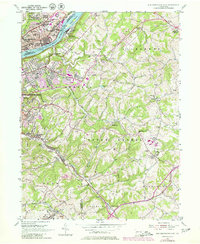
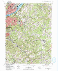
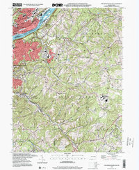
Editions of this 1986 Pittsburgh East Map
3 editions found
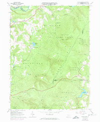
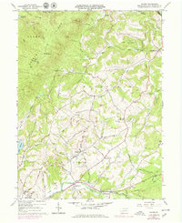
Historical Maps of Derry Through Time
12 maps found
1953 New Kensington East
Westmoreland County, PA
1964 Rachelwood
Westmoreland County, PA
1964 Wilpen
Westmoreland County, PA
1967 Ligonier
Westmoreland County, PA
1967 Stahlstown
Westmoreland County, PA
1973 Rachelwood
Westmoreland County, PA

1977 Ligonier
Westmoreland County, PA
1977 Rachelwood
Westmoreland County, PA
1986 Pittsburgh East
Westmoreland County, PA
1993 New Kensington East
Westmoreland County, PA
1998 New Kensington East
Westmoreland County, PA
1998 Rachelwood
Westmoreland County, PA