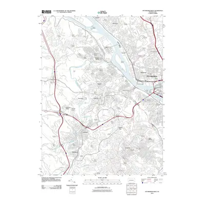
2010 Map of Pittsburgh West
USGS Topo · Published 2010About this map
The Ohio River and its major tributaries, the Allegheny River and Monongahela River, define this landscape at the heart of western Pennsylvania. The map highlights the high density of historical cemeteries scattered throughout the urban and suburban terrain, including Saint Marys Greek Cemetery, Beth Hamedrash Hagodal Cemetery, and Rosedale Cemetery, reflecting the diverse cultural heritage of the Pittsburgh region. Transport infrastructure is prominent, featuring the Rook Rail Yard, Scully Yard, and the W Busway, alongside major engineering works like the Fort Pitt Tunnel and Liberty Tunnel. Industrial and civic landmarks like the Western State Penitentiary and Allegheny Observatory stand near established neighborhoods such as Manchester and Dormont. From the Golden Triangle to the recreational spaces of Point State Park, the map captures the transition from dense urban centers to the hills of Carnegie and Green Tree.
Find a feature on this map
110 named features on this map. Tap any name to fly to it.
Don’t see what you’re looking for? This feature index may not catch every label — zoom into the map to look around manually.
Map Details
Editions of this 2010 Pittsburgh West Map
This is the sole edition of this map. No revisions or reprints were ever made.
Other maps of this area

1904 · Mc Keesport
USGS Topo · 1:62,500

1904 · Carnegie
USGS Topo · 1:62,500

1906 · Carnegie
USGS Topo · 1:62,500

1906 · Sewickley
USGS Topo · 1:62,500

1907 · Pittsburg
USGS Topo · 1:62,500

1908 · Sewickley
USGS Topo · 1:62,500

1908 · Carnegie
USGS Topo · 1:62,500

1908 · New Kensington
USGS Topo · 1:62,500

1910 · New Kensington
USGS Topo · 1:62,500

1948 · Pittsburgh West
USGS Topo · 1:24,000