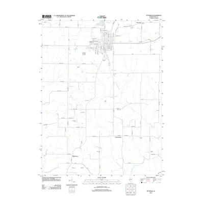
2012 Map of Pittsfield
USGS Topo · Published 2012About this map
Martinsburg and Independence anchor the southern reaches of this Pike County landscape, which transitions from the structured streets of the county seat in the north to a sprawling agricultural network. The northern boundary is defined by Pine Lake and the George W Schuster Airport, while the surrounding terrain is deeply carved by the waters of Panther Cr, Bay Cr, and the winding Honey Cr.
Find a feature on this map
77 named features on this map. Tap any name to fly to it.
Don’t see what you’re looking for? This feature index may not catch every label — zoom into the map to look around manually.
Map Details
Editions of this 2012 Pittsfield Map
This is the sole edition of this map. No revisions or reprints were ever made.
Other maps of this area

1924 · Griggsville
USGS Topo · 1:62,500

1926 · Griggsville
USGS Topo · 1:62,500

1926 · Pittsfield
USGS Topo · 1:62,500

1930 · Pearl
USGS Topo · 1:62,500

1930 · Nebo
USGS Topo · 1:62,500

1934 · Nebo
USGS Topo · 1:48,000

1942 · Nebo
USGS Topo · 1:62,500

1948 · Quincy
USGS Topo · 1:250,000

1950 · Pearl
USGS Topo · 1:62,500

1956 · Quincy
USGS Topo · 1:250,000