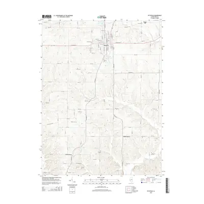
2015 Map of Pittsfield
USGS Topo · Published 2015About this map
Pittsfield serves as the seat of Pike County, oriented around a grid of streets like W Washington St and E Washington St. The landscape outside the town center is defined by a high density of small family and community burial grounds, including Oakwood Cem and the Pittsfield West Cem. To the north, Sunny Hill sits near the banks of Panther Cr, while the southern reaches of the area are marked by the small settlements of Independence and Martinsburg.
Find a feature on this map
57 named features on this map. Tap any name to fly to it.
Don’t see what you’re looking for? This feature index may not catch every label — zoom into the map to look around manually.
Map Details
Editions of this 2015 Pittsfield Map
This is the sole edition of this map. No revisions or reprints were ever made.
Other maps of this area

1924 · Griggsville
USGS Topo · 1:62,500

1926 · Griggsville
USGS Topo · 1:62,500

1926 · Pittsfield
USGS Topo · 1:62,500

1930 · Pearl
USGS Topo · 1:62,500

1930 · Nebo
USGS Topo · 1:62,500

1934 · Nebo
USGS Topo · 1:48,000

1942 · Nebo
USGS Topo · 1:62,500

1948 · Quincy
USGS Topo · 1:250,000

1950 · Pearl
USGS Topo · 1:62,500

1956 · Quincy
USGS Topo · 1:250,000