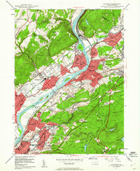
1947 Map of Pittston
USGS Topo · Published 1961About this map
The Susquehanna River carves through the heart of the Wyoming Valley, where a dense industrial and rail corridor connects Pittston, Wyoming, and Exeter. In the late 1940s, the landscape is a complex network of transportation and memory, anchored by the Wyoming Monument and significant institutions like the Wilkes-Barre Day Sch. The confluence of the Lackawanna River at Pittston Junc serves as a pivot point for a heavy concentration of rail lines, including the Erie Railroad and Lehigh Valley Railroad, which navigate the steep terrain around Campbell Ledge.
Find a feature on this map
100 named features on this map. Tap any name to fly to it.
Don’t see what you’re looking for? This feature index may not catch every label — zoom into the map to look around manually.
Map Details
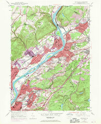
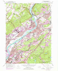
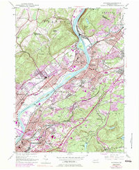
Editions of this 1947 Pittston Map
4 editions found
Other maps of this area

1889 · Scranton
USGS Topo · 1:62,500

1891 · Wilkesbarre
USGS Topo · 1:62,500

1891 · Scranton
USGS Topo · 1:62,500

1893 · Pittston
USGS Topo · 1:62,500

1893 · Scranton
USGS Topo · 1:62,500

1894 · Wilkesbarre
USGS Topo · 1:62,500

1922 · Stoddartsville
USGS Topo · 1:62,500

1924 · Stoddartsville
USGS Topo · 1:62,500

1943 · Scranton
USGS Topo · 1:125,000

1943 · Stoddartsville
USGS Topo · 1:62,500